


Bartholomew’s Revised “Half-Inch” Contoured Maps No. 24 – Vale of Trent map 1946
USD 13.45 USD
Specifications
| Country Of Origin | United Kingdom |
| Publisher | John bartholomew & Son |
| Subject | Geography & Geosciences |
| Series | Bartholomew's |
| Publication Year | 1946 |
| Type | map |
| Format | Folding Map |
| Language | English |
| Country | United Kingdom |
| Region | Great Britain |
| Author | John Bartholomew |
| Map Scale | 1/2 inch to 1 mile |
The Bartholomew's Revised "Half-Inch" Contoured Maps No. 24 - Vale of Trent map 1946 is a historical geography map published by John Bartholomew & Son in the United Kingdom. This folding map features a detailed depiction of the Vale of Trent region in Great Britain, using a map scale of 1/2 inch to 1 mile. Written in English, this map is part of the Bartholomew's series and is a valuable resource for those interested in geography and geosciences from the mid-20th century.
Related Items

(G67) Map of Carlisle CA Postcode Sectors, Poster of Carlisle Postcodes
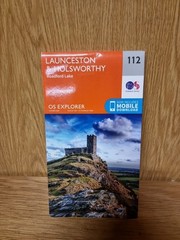
OS Explorer Map (112) Launceston and Holsworthy by Ordnance Survey (22d)

Slovenia + Italy Julian Alps, Triglav Giulie Alps Kompass hiking cycling map 064

Genealogy Family Maps Saginaw County Michigan

RHOSSILI Port-Eynon – ORDNANCE SURVEY First Series 1:25,000 1948 SS48
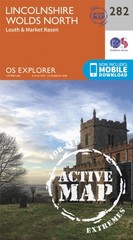
Lincolnshire Wolds North by Ordnance Survey (Sheet map, folded)

Philip’s Street Atlas Shropshire and Telford by Philip’s Maps Spiral bound Book

Ordnance Survey Landranger Map 1:50,000 Sheet 108 Liverpool