


Ben Nevis Mamores & Grey Corries by Harvey Map Services Ltd. (Sheet map, folded)
USD 23.27 USD
Specifications
| Publisher | Harvey Map Services Ltd |
| Publication Year | 2017 |
| Format | Sheet map, folded |
| Language | eng |
| Country Of Origin | United Kingdom |
| Item Height | 0.2 cm |
| Item Length | 24.9 cm |
| Item Weight | 66 g |
| Item Width | 13.8 cm |
| Publication Name | Not Available |
| Type | Not Available |
| ISBN | 9781851374021 |
Ben Nevis with the Mamores and Grey Corries ranges at 1:25,000 on a double-sided, waterproof and tear-resistant map from Harvey Map Services in their Superwalker series, with the peak area also shown in greater detail at 1:12,500. The map divides the area north/south, with a good overlap between the sides, extending from Fort William past Loch Treig to Chno Deang, plus south to Loch Leven and the Blackwater Reservoir. The enlargement highlights the bad visibility descent route including instructions. The main map at 25K also highlights recommended mountain bike trails.
Related Items

OS Ordnance Survey Landranger maps – Northern England, good condition; 1974-94

Bartholomew Half-Inch Contoured Map, Sheet 19: Warwickshire (1967).

8X DARTMOOR, 2008 GSGS 6500 1-GSGS MOD ENG 25 EXPLORER OS ORDNANCE SURVEY MAPS
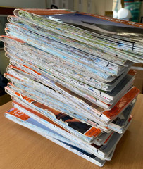
Ordnance Survey Explorer Maps, silver stripe covers. Choose one or more

City of Salisbury 1900: Wiltshire Sheet 66… by Godfrey, Alan Sheet map, folded

Newton on Ayr 1908 Ayrshire Sheet 33.02 by Gilbert Bell

Atlas of the World, 13th Edition
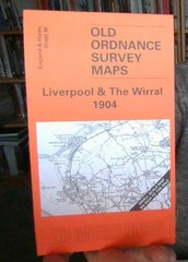
MAP OF Liverpool & The Wirral 1904 One Inch Sheet 96 by Derrick Pratt NEW