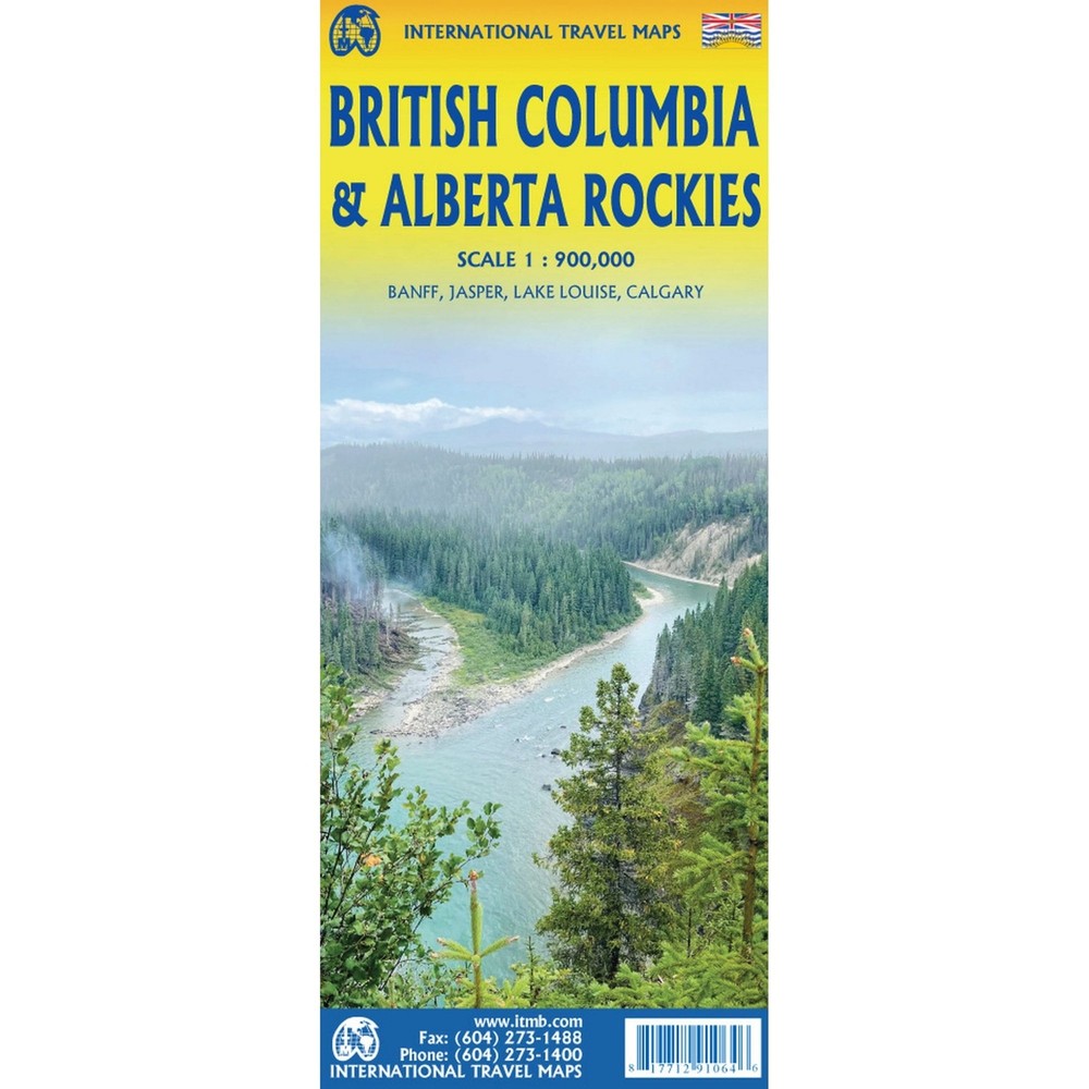

Canada 1:900k ITMB British Columbia & Alberta Rockies Travel Reference Map
Specifications
| Return Postage Will Be Paid By | Buyer |
| Returns Accepted | Returns Accepted |
| After Receiving The Item, Your Buyer Should Cancel The Purchase Within | 30 days |
| Author | ITMB Publishing |
| Type | Road Atlas |
| Publisher | ITMB Publishing |
| Series | ITMB Travel Maps |
| Country | Canada |
| Publication Year | 2022 |
| Region | North America |
| Language | English |
| Format | Folding Map |
| Map Scale | 1:900,000 |
| Country/Region Of Manufacture | Canada |
| Item Weight | 0.07kg |
| MPN | Does Not Apply |
eBay Store Design by Visualsoft Canada 1:900k ITMB British Columbia & Alberta Rockies Travel Reference Map £10.900 | A Regional Map of the British Columbia & Alberta Rockies Region printed at a 1:900,000 scale. Ask a Question Description This double-sided map covers the three national parks of Banff, Jasper, and Yoho, and several provincial parks on both sides of the border, which also forms the continental divide between rivers flowing to the Pacific or to the Atlantic, covering from Calgary to the northern portion of the Fraser Canyon on one side, and the more northerly stretch of the Rockies from Fort St. John to the Yukon. Good inset maps of Calgary, Banff, Jasper, and Lake Louise are included. The focus of this map is its many recreational opportunities, with an emphasis on campgrounds, ski areas, historic sites, and secondary roads. The area of coverage is vast; the size of Western Europe, and straddles two time zones.Map size: 27*39" eBay Store Design by Visualsoft
Related Items