
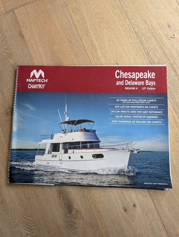
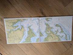
Chesapeake & Delaware Bays 12th Edition Region 4 Maptech ChartKit 2013
USD 49.90 USD
Specifications
| Publication Year | 2013 |
| Type | ChartKit |
| Format | Paperback |
| Language | English |
| Spiral Bound, Plastic Slip Cover | 22.25”x 17.25”x 0.5” |
| UPC | 9780743611022 |
| Author | Maptech |
| Country | United States |
| Country Of Origin | United States |
| Item Weight | 2lbs 12oz |
| ISBN | 0743610547 |
The Chesapeake & Delaware Bays 12th Edition Region 4 Maptech ChartKit 2013 is a comprehensive map and chart set for exploring the Chesapeake and Delaware Bays. Published by Maptech in 2013, this paperback ChartKit features detailed information in English language. The spiral-bound format and plastic slip cover make it easy to use and protect the charts. Measuring 22.25”x 17.25”x 0.5”, this ChartKit is a valuable resource for navigating the waters of the United States in the Chesapeake and Delaware Bays region.
Related Items

Mapping (Phoenix Science S), Greenhood

2007 Twelfth Edition Times Of London Atlas W/Case & Map Key Insert-Very Good

Morocco Insight Travel Map Paperback / softback Book The Fast Free Shipping

Mastering the Bucket List: From Planning to Action by Shell, Eley, Cregge New-,

Goole (Map) 1: 63 360 Series Geological Maps (England & Wales) (UK IMPORT)

Maptech Chartkit Southern California + Mexico Region 12, 7th Edition

The Palace of Eros by Caro De Robertis (Paperback Book)

The A to Z of Georgian London (Publication / London … by Rocque, John Hardback