
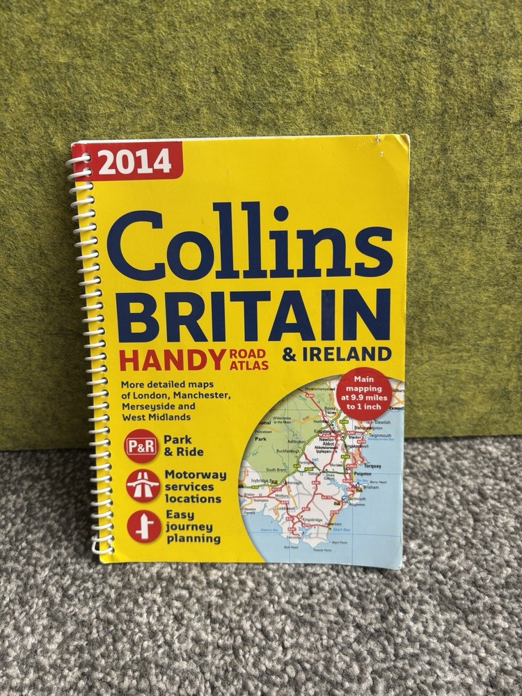
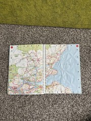
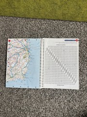
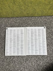
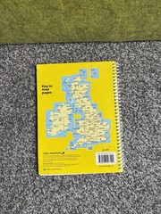

Collins Britain & Ireland 2014 Handy Road Atlas Spiral bound Maps Roadcheck Taxi
USD 6.70 USD
Specifications
| Artist | various |
| Publication Name | Collins Primary Atlas |
| Format | books, Ring/Wire Bound |
| Unit Type | Unit |
| Language | English |
| ISBN | 0007922914 |
| Features | Illustrated |
| Publisher | Collins |
| Subject | Geography & Geosciences |
| Publication Year | 2014 |
| Series | road check |
| Type | Paperback |
| EAN | 9780007922918 |
| Country | Ireland |
| Region | Great Britain |
| Author | various |
| Map Scale | 1:250,000 |
| Country Of Origin | United Kingdom |
| Item Weight | 100 g |
As pictured! To the best of my knowledge, all flaws pictured. Please check condition, as it reflects the overall condition of the item. If needed, please take a close look at the pictures, to make sure you’re happy with the item’s condition! Please also zoom in for a closer look. If interested, please send in your offer! Open to sensible offers! Any questions, please ask! Fast dispatch Thank you ☺️
Related Items

GERMANY SOUTHERN 2ND EDI 1:415K ITM By Itmb Publishing Ltd **BRAND NEW**

National Geographic Picture Atlas of Our Fifty States Hardcover English US

National Geographic Atlas of World History

Blue Guide Athens (Athens, 4th ed) by Robin Barber

1994 Quick Reference World Atlas Paperback Rand McNally Staff

Philip’s Street Atlas West Sussex: Pocket by Philip’s Maps Paperback / softback

Zakynthos Marco Polo Guide (Marco Polo Guides) (paperback)
Genealogy Family Maps Edwards County Illinois