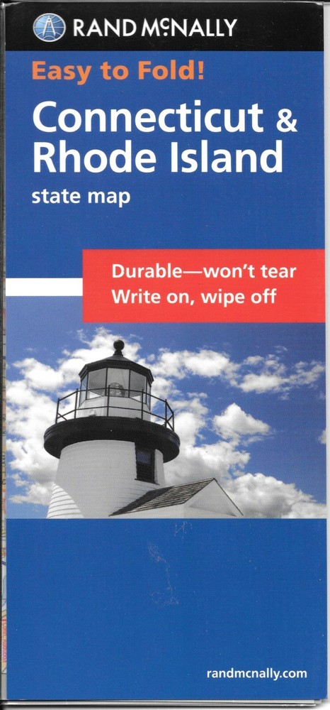

Connecticut, Rhode Island, Easy-to-Fold Laminated Map, Rand McNally
Specifications
| Return Shipping Will Be Paid By | Seller |
| All Returns Accepted | Returns Accepted |
| Item Must Be Returned Within | 30 Days |
| Refund Will Be Given As | Money Back |
| Publication Year | 2015 |
| Type | Map |
| Format | Sheet Map, Folded |
| Language | English |
| Item Height | 0.3 in |
| Author | Rand Mcnally |
| Publisher | Rand McNally CA |
| Item Length | 8.8 in |
| Item Weight | 2.4 Oz |
| Item Width | 4 in |
| Subject | Road Map |
Connecticut & Rhode Island, Easy-to-Fold, Laminated State Map, by Rand McNally Laminated and folded! This durable and convenient Connecticut & Rhode Island Easy-To-Fold state map will take all the wear and tear your journey can dish out. The heavy-duty laminated design allows you to mark your route, make notes, then wipe the surface clean for further use. This is a must-have for navigation whether you're a state resident or just passing through. Easy to fold means no fumbling Heavy-duty lamination allows you to write on, wipe off Durable and tear resistant Folds to display individual map sections Full-color maps with enhanced cartography Clearly indicated highways, county boundaries, points of interest, and more.Easy to fold means no fumblingHeavy-duty lamination allows you to write on, wipe offDurable and tear resistantFolds to display individual map sectionsFull-color maps with enhanced cartographyClearly indicated highways, county boundaries, points of interest, and moreQuick-reference legend and city indexProduct DetailsDimensions: 9" x 4.25" folded; 18" x 17" unfoldedPublication date: 2015, ISBN 9780528854224
Related Items