
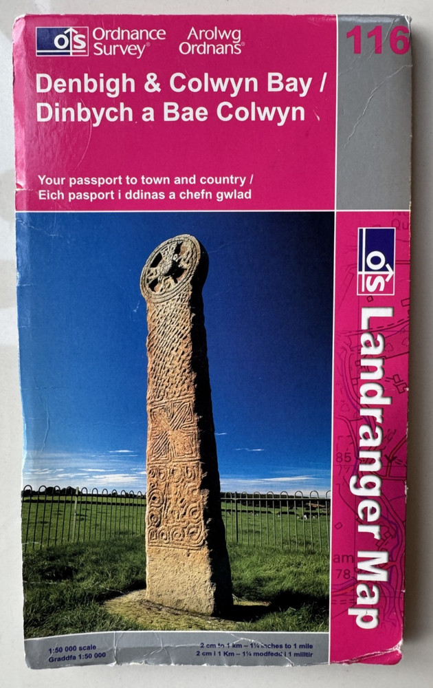
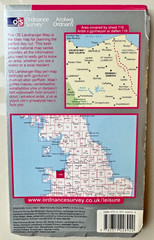
DENBIGH & COLWYN BAY – OS LANDRANGER MAP No.116 – Ordnance Survey
USD 3.00 USD
Specifications
| Binding | Sheet map, folded |
| Artist | Ordnance Survey |
| Publication Name | Landranger Series |
| Publisher | Ordnance Survey |
| Series | Ordnance Survey |
| Type | Sheet map, folded |
| Format | books, Folding Map |
| Language | English |
| Author | Ordnance Survey |
| Region | Great Britain |
| Country | United Kingdom |
| Features | Folding Map |
| Map Scale | 1:50,000 |
| Country Of Origin | United Kingdom |
The DENBIGH & COLWYN BAY OS Landranger Map No.116 by Ordnance Survey is a detailed folded sheet map featuring Great Britain at a scale of 1:50,000. The map includes features such as rivers, hills, and tourist attractions, making it a valuable resource for exploring the region around Denbigh and Colwyn Bay in the United Kingdom.
Related Items

Lonely Planet Oxford & the Cotswolds Planning Map

California Gold and Gems Maps Northern Edition Then and Now by R. N. Preston

The New York Mapguide, Michael Middleditch

Land’s End Penzance & St Ives (Sheet map, folded)

Ordnance Survey 1:25,000 First Series Map Sheet ST 84 Warminster
Hawick 1897 Roxburghshire Sheet 25.07 by John Griffiths

25 Bicycle Tours in the Adirondacks: Road Adventures in the East’s Larges – GOOD

Assorted Maps O.S.- Michelin- Nelles+others Various locations UK, Europe, China