
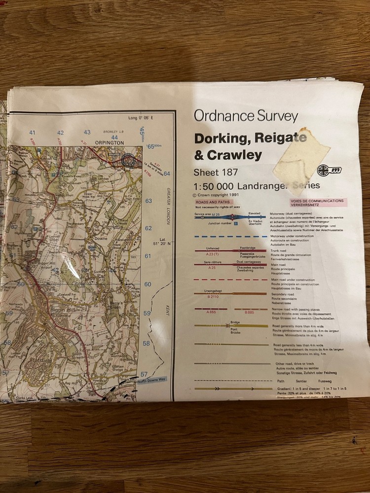
Dorking Reigate and Crawley – OS Landranger 187 – Fold Out Map
USD 2.52 USD
Specifications
| Country Of Origin | United Kingdom |
| Series | Ordnance Survey |
| Type | Hiking Map |
| Language | English |
| Publication Name | Landranger |
| Author | Various |
| Region | Great Britain |
| Country | United Kingdom |
| Features | Folding Map |
| Publisher | Ordnance Survey |
The Dorking Reigate and Crawley OS Landranger 187 fold out map is a hiking map produced by Ordnance Survey, featuring the cities of Dorking, Reigate, and Crawley in the United Kingdom. This detailed map, in English language, is designed specifically for outdoor enthusiasts looking to explore the region of Great Britain. With its folding map feature, users can easily take the map with them on their hiking adventures, making it a convenient and practical resource for navigation in the great outdoors.
Related Items
National Geographic Map Poster 24×19 Washington DC to Boston August 1962 Vintage

Spain map 1066-I (1066-1) Coin (Coín) hiking walking cycling topographic 1:25K
Whitby & North York Moors (East) 1891-95 One Inch Sheet 35/44 by Trevor Pearson

OS Map Ceramic Mug – Peak District National Park (General merchandise)

IGN TOP 100 D26 – Drome – Valence – PNR du Vercors 1:100,000

Kielder Water & Forest, Bellingham & Simonside Hills (Map) (UK IMPORT)

Cork (Map) OS Discovery Series (UK IMPORT)

UK A B Roads Motorway London Ireland Wall Map Laminated Large Wall Map 120X83cm