
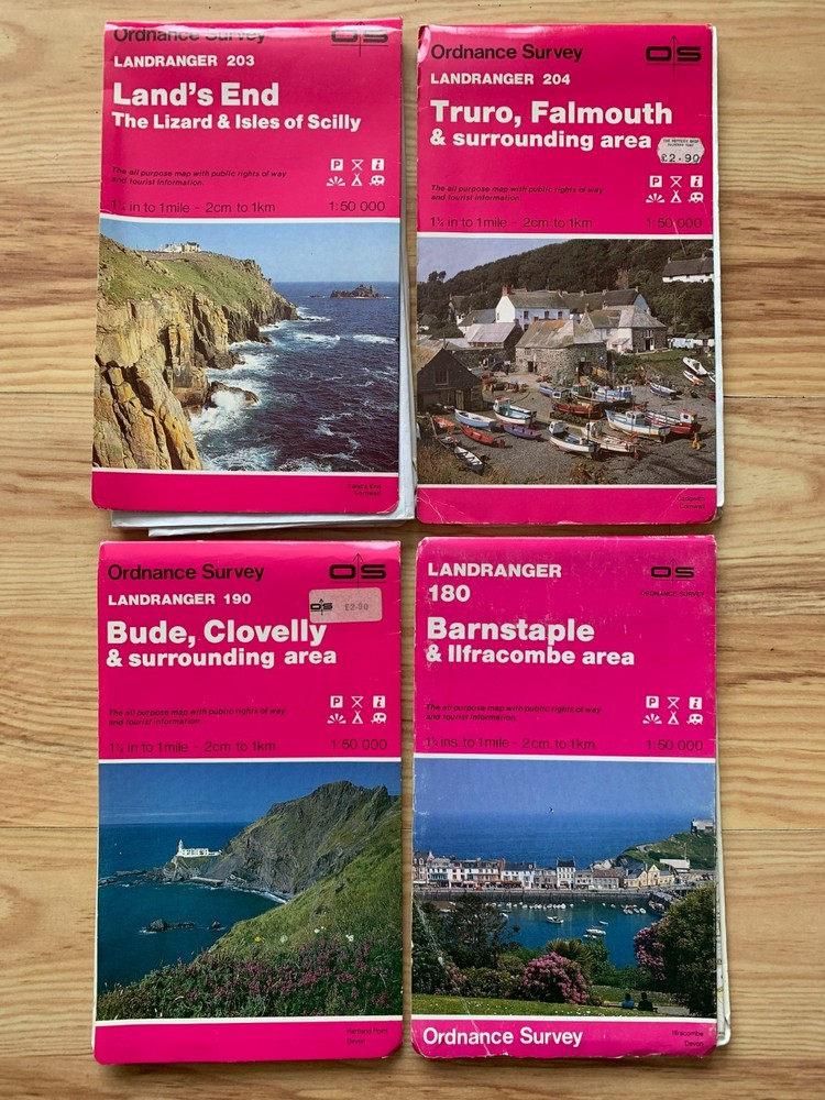
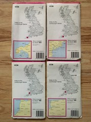
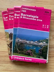
Four vintage Ordnance Survey folded maps of south-west England, 1970s?
USD 13.41 USD
Specifications
| Series | Ordnance Survey |
| Type | Road Atlas |
| Language | English |
| Publication Name | Map |
| Country | England |
| Region | Great Britain |
| Author | Ordnance Survey |
| Features | Folding Map |
| Publisher | Ordnance Survey |
These four maps are thought to date from the 1970s. They are of Land's End, Barnstaple & Ilfracombe, Bude & Clovelly, and Truro & Falmouth. They are in used, preowned condition, and clearly they have been and are still misfolded in places. However, overall they seem to be in good, clean condition, with relatively minor wear and tear. Ref: A91
Related Items

Around the World: The Atlas for Today

KENYA 1 : 1 000 000 FB 2013 (ENGLISH AND GERMAN EDITION) By Freytag & Brent NEW

Ordnance Survey Outdoor Leisure Map New Forest

The World (Lonely Planet)

The Visual Dictionary Of Military Uniforms – 1992
Scotland Touring Map – 5 Miles to 1 Inch – 1986
The great world atlas American Map Corporation hardcover Used – Good

Great Irish Bucket List, Hardcover by Gill Books (COR), Like New Used, Free s…