
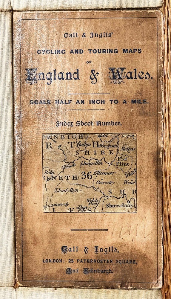
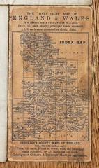
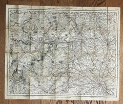
Gall & Inglis Cycling & Touring Map No 36 Merion, Shrop & Flint Shires c1894
USD 27.98 USD
Specifications
| Publisher | Gall & Inglis |
| Item Length | 670mm |
| Subject | County Map |
| Series | Gall & Inglis |
| Publication Year | 1894 |
| Type | Cycling Map |
| Format | Folding Map |
| Language | English |
| Region | Great Britain |
| Country | Wales |
| Author | Cruchley |
| Map Scale | Half Inch to One Mile |
| Country Of Origin | United Kingdom |
| Item Width | 550mm |
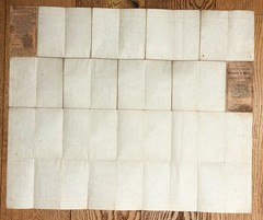
Publisher: Gall & Inglis (London and Edinburgh), using plates originally from G.F. Cruchley. The outer cardboard covers are a little edge worn but intact. This included marking.
Related Items

BERWICK UPON TWEED – Ordnance Survey Landranger Map

Collins World Atlas: Essential Edition by Collins Maps

Family Maps Coffee County Alabama Genealogy AL Plat

100 Places in the USA Every Woman Should Go Paperback Sophia Demb
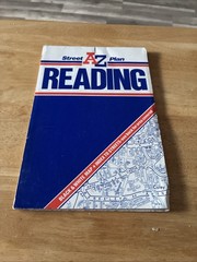
Reading AZ Street Plan

1921 Ordnance Survey One Inch Cloth Tourist Map Of Exmoor Exmoor Forest

Maine Snowmobile Trail Map Atlas 2023-2024
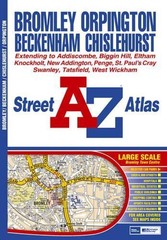
Bromley Street Atlas by Great Britain Paperback / softback Book The Fast Free