
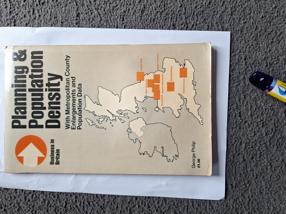

George Philip, Planning & Population Density Map, 1970’s
USD 6.73 USD
Specifications
| Author | George Philip |
| Country Of Origin | United Kingdom |
This George Philip Planning & Population Density Map from the 1970s is a valuable resource for those interested in historical urban planning and demographic trends. Authored by George Philip, the map provides detailed insights into population distribution and density during that era. As a part of the Maps & Atlases category, this publication offers a visual representation of geographic data that can be helpful for researchers, educators, and enthusiasts studying the development of cities and regions.(143)
Related Items
Rainhill 1906 Lancashire Sheet 107.12 by Kay Parrott

Ordnance Survey 1:50,000 Landranger Map Sheet 158: Tenby & Pembroke
EASTBOURNE HASTINGS No 199 1974 39622 1.500 000 First Series Ordnance Survey Map
Collins-Longman Atlas for Secondary Schools Kemp, Richard

Ordnance Survey Map 1:50,000 Sheet 18 Sound of Harris
Ordnance Survey 1:25,000 First Series Map Sheet NZ 71 Loftus

OS MAP NEWMARKET ELY SOHAM MILDENHALL FORDHAM SNAILWELL DIGITAL MOBILE DOWNLOAD
Ordnance Survey 1:25,000 First Series Map Sheet SP 70 Thame