
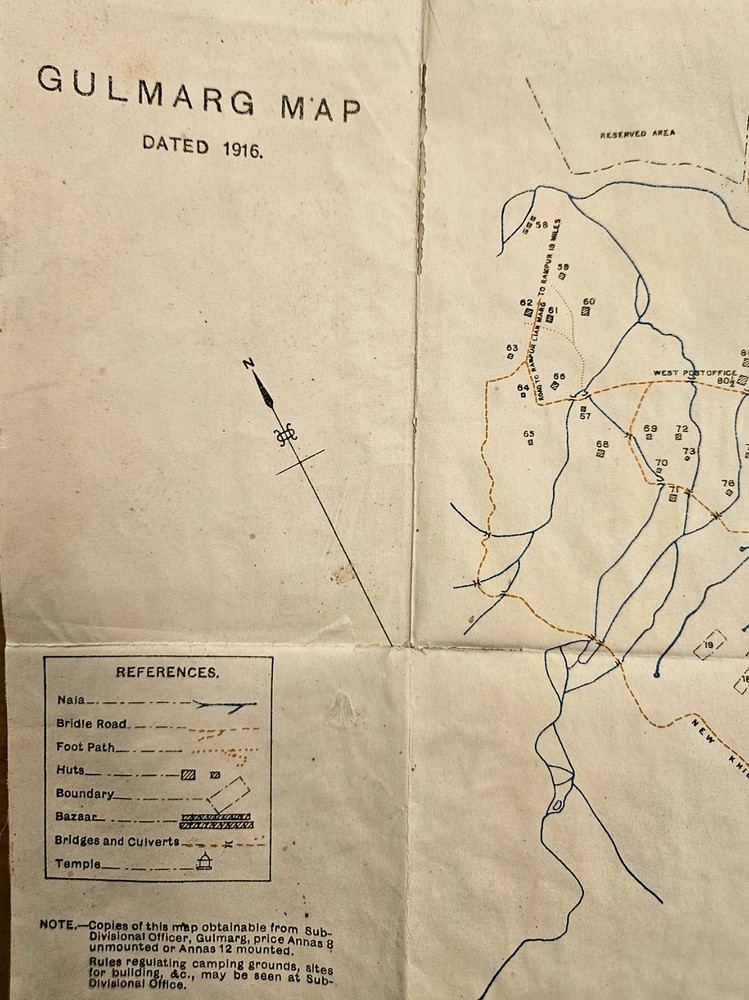

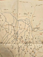
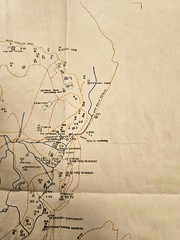
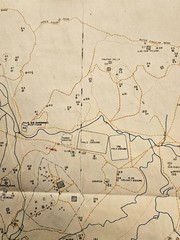
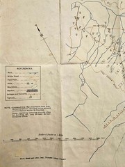
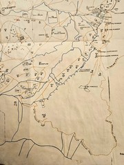
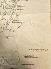
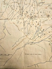
Gulmarg map Kashmir dated feb1916 4120.1000.scale 6 inches=1 mile
USD 28.25 USD
Specifications
| Publication Name | Gulmarg map dated 1916 |
| Item Length | 20.25in |
| Publication Year | 1916 |
| Type | Guide Book |
| Format | Map |
| Language | English |
| Item Height | 13.5in |
| Country | India |
| Region | Kashmir |
| Map Scale | 6inches =1 mile |
| Country Of Origin | India |
This vintage Gulmarg map from February 1916, measuring 6 inches to the mile, is a valuable piece of history. Published by photo-mechl and Litho dept Thomason college Rookee, the map features detailed information about the region of Kashmir, India. Authored by H A D Fraser Lt.Col.R E State Engineer Kashmir Durbar, this guide map in English provides a comprehensive look at the area, making it a must-have for collectors and enthusiasts of vintage maps and atlases. The map's dimensions of 20.25 inches in length and 13.5 inches in height add to its rarity and charm.
Related Items

The Address Book: What Street Addresses Reveal About Identity, Race, Wealth, and

Basic Illustrated Map And Compass
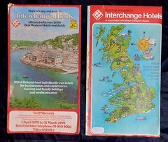
2 x Interchange Hotels/Best Western Hotels Map & Guide, UK. Vintage 1970’s

5 x Ordnance Survey Contoured Road Map 1920s 51 95 106 126 133 1 inch: 1 mile

OS Ordnance Survey Landranger maps, surplus stock to clear – good condition

Murder Maps USA: Crime Scenes Revisited, Bloodstains to Ballistics by Adam Selze

Gorton & Belle Vue 1890 (Coloured), 1905, 1916 or 1933 Lancashire Sheet 104.16

Godfrey Edition Old Ordnance Survey MAP of ST HELENS (NE) 1892 Lanc Sheet NEW