
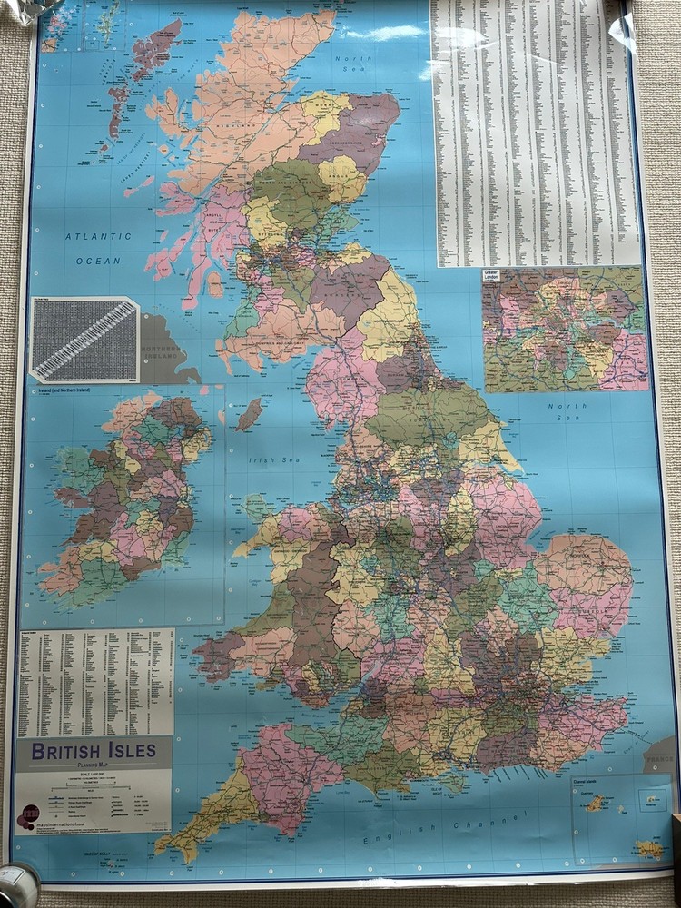

Large British Isle Wall Planning Map 1:600.000 2007 Maps Intern. Write On Wipe
USD 33.63 USD
Specifications
| Publication Name | British Isle |
| Publisher | XYZ Maps |
| Subject | Geography |
| Series | XYZ Continental Series |
| Publication Year | 2007 |
| Type | Planning Map |
| Format | Wall Map |
| Language | English |
| Region | Great Britain |
| Country | United Kingdom |
| Author | Maps International |
| Features | Poster |
| Map Scale | 1:4,600,000 |
| Country Of Origin | United Kingdom |
| Direct From XYZ Maps | Making maps since 1998 |
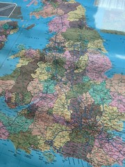
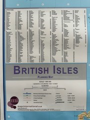
This large laminated wall planning map British Isle scale 1:600.000 Published Maps International in 2007. The route planning map shows the motorways, major roads and transport hubs such as airports and raul route in the UK. Shows major towns and their approximate population. Produced by Maps International this English-language poster is designed for writing and wiping, providing a convenient and interactive tool for studying and exploring the region pr marking places you have been or you are planning to visit. Perfect for classrooms, offices, or personal use, this high-quality map offers a comprehensive overview of Europe's political lands. Used with some minor puncture holes on the corners and at sone places. Still in great nick.
Related Items

Ireland’s Curious Places, Hardcover by Fewer, Michael, Like New Used, Free sh…

Retirement on a Shoestring, 5th (Choose Retirement Series) – Paperback – GOOD

On the Map: A Mind-Expanding Exploration of the Way the World… – Simon Garfield
Historical Atlas of Missouri Maps Politics Slavery Agriculture Rafferty 1982

Time The Hammond World Atlas

Bridgend 1897 Glamorgan Sheet 40.07 by Derrick Pratt

National Geographic Atlas of World History

Ansett Ana Air Route Map Australia 1960s Excellent condition