
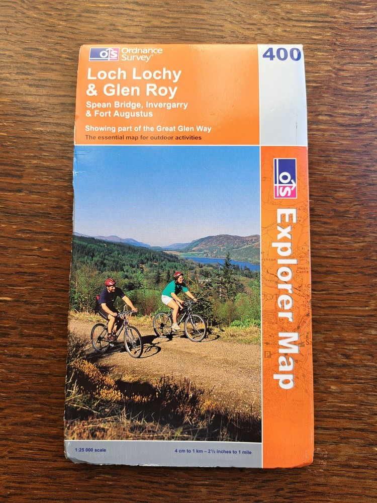
Loch Lochy & Glen Roy Spean Bridge Invergarry & Fort Augustus map 400
USD 10.66 USD
Specifications
| Type | Road Atlas |
| Format | Sheet Map, Folded |
| Language | English |
| Publication Name | ordance survey |
| Country | United Kingdom |
| Region | Europe |
| Author | ordance survey |
| Map Scale | 1:25,000 |
The product is a road atlas map of the Loch Lochy & Glen Roy Spean Bridge Invergarry & Fort Augustus area, with a scale of 1:25,000. Published by the ordance survey in the United Kingdom, the sheet map is folded and written in English. This detailed map is specific to the region of Europe and provides essential information for navigating the area, including landmarks, roads, and other points of interest. Ideal for travellers and outdoor enthusiasts, this map allows users to explore the picturesque landscapes and routes of the Highlands of Scotland.
Related Items

Bartholomew’s Map England and Wales (sheet 25)

50 Hikes in Eastern Pennsylvania: From the Mason-Dixon Line to the Poconos and

Premier World Atlas
Launceston and Holsworthy (Map) OS Explorer Map
Greece 1:200k Waterproof Road Cartography Central Greece road and tourist map 4

Lonely Planet Canada Planning Map (Map) Map
Ordnance Survey Explorer 1:25,000: Sheet 298 Nidderdale & Fountains Abbey; 1999
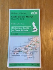
1980 Ordnance Survey Pathfinder Map SW 32/42 Land’s End & Newlyn (incl Mousehole