
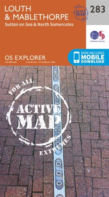


Louth and Mablethorpe by Ordnance Survey (Sheet map, folded)
USD 19.69 USD
Specifications
| Author | Ordnance Survey |
| Publisher | Ordnance Survey |
| Publication Year | 2015 |
| Format | Sheet map, folded |
| Language | eng |
| Country Of Origin | United Kingdom |
| Item Height | 2.1 cm |
| Item Length | 24.4 cm |
| Item Weight | 196 g |
| Item Width | 13.7 cm |
| Publication Name | Not Available |
| Type | Not Available |
| ISBN | 9780319471555 |
OS Explorer is the Ordnance Survey's most detailed map and is recommended for anyone enjoying outdoor activities such as walking, horse riding and off-road cycling. The series provides complete GB coverage and can now be used in all weathers thanks to OS Explorer - Active, a tough, versatile version of OS Explorer. The OS Explorer Active range now includes a digital version of the paper map, accessed through the OS smartphone app, OS Maps.
Related Items

OS MAP MALTON NORTON PICKERING HELMSLEY HOVINGHAM AMPLEFORTH EASINGWOLD HAWNBY

Ordnance Survey (OS) 1:25,000 First Series Map Sheet SN 89 Staylittle

North Pennines: Teesdale and Wearda…, Ordnance Survey

Edinburgh PopOut Map (PopOut Maps) by PopOut Maps

Job Lot Of Scratch Maps. UK, World & Wines. Please Read The Description & Photos

OS Ordnance Survey Landranger Map 141 Kettering & Corby – 2007 edn

Goole 1890 Yorkshire Sheet 237.16a by Alan Godfrey

Fraserburgh & Peterhead: Ordnance Survey Landranger Map 1:50000 #30