
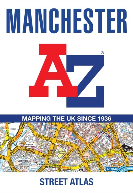

Manchester A-Z Street Atlas by A-Z Maps (Paperback Book)
USD 12.73 USD
Specifications
| Author | A-Z Maps |
| Publication Year | 2026 |
| Format | Paperback |
| Language | eng |
| Country Of Origin | United Kingdom |
| Item Height | 0.8 cm |
| Item Length | 14.9 cm |
| Item Weight | 204 g |
| Item Width | 21.5 cm |
| Publication Name | Not Available |
| Type | Not Available |
| ISBN | 9780008780722 |
Navigate your way around Manchester with this detailed and easy-to-use A-Z Street Atlas. Printed in full-colour, paperback format, this atlas contains more than 90 pages of continuous street mapping in a NEW A5 format for ease of use. Coverage extends to: Haywood in the north, Droyslsden in the east, Altringham in the south, and Walkden in the west. Additional pages cover the city centre with large-scale mapping. Postcode districts, one-way streets and National Park boundaries are also featured on the mapping. The index section lists streets, selected flats, walkways and places of interest, place and area names, National Rail and Metrolink station names, hospitals, hospices and NHS Walk-in Centres.
Related Items

Newton Stewart & Minigaff 1907 Wigtownshire Sheet 15.02 by Pamela Taylor

Pre-owned OS Explorer Map Sheet 192 Buckingham Milton Keynes Woburn – c1998

Vintage Bartholomew Half Inch Contoured Cloth Map Sheet 34 – English Lakes

Vintage ESSO Road Map Ireland No. 8 Fold Out Paper 1960s Scale 8 Miles = 1 Inch

Atlas of the World: Deluxe Edition
National Geographic Driving Guides To America Book Lot 4 New England Great Lake
Leeds Ordnance Map 1905 Carlton Barracks Dye Coach Gas Works Windsor Hotel 21826

Essential World Atlas by Oxford University Press: Used