
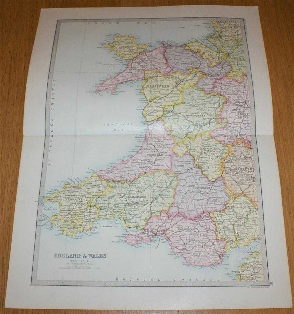
Map: 1890 England & Wales, Section 5 covering Wales from Library Reference Atlas
USD 64.57 USD
Specifications
| Original/Reproduction | Original |
| Grade | Very Good Condition |
| Language | English |
| Format | Paperback |
| Subject | Maps |
| Binding | Softcover |
| Features | First Edition |
| Publication Year | 1890 |
| Publisher | Macmillan and Co. |
| Brand | Macmillan and Co. |
| Type | Book |
| Author | John Bartholomew |
| Item Weight | under 1 kg |
| Colour | Multicoloured |
Section 5 only of 6 covering England and Wales. Approx size 35 x 46 cm, vertical centre fold. Corners lightly worn. Map is clean, crisp, clear and bright. First Edition. Language: English. ISBN: No ISBN.
Related Items

1980s IGN France Map 0417 Est Brest Crozon Finistère Folding Tourist Map Vintage
Sea Rescue Mossel Bay Station 15 Mosselbaai: 1971-2021 Golden Julbilee Goue Jubi

Ordnance Survey Outdoor Leisure Maps, yellow covers c.1997, VG, choose 1 or more

Huntly Cullen Map Weatherproof Portsoy Aberchirder by Ordnance Survey
100 Places In The Usa Every Woman Should Go
OS Ordnance Survey Landranger maps – various sheets, very good condition – 2000s
Gary Letcher Waterfalls of the Mid-Atlantic States (Paperback) (UK IMPORT)

Rand Mcnally Manatee, Sarasota and Charlotte Counties Streetguide by Rand…