

Map: 1890 USA Kansas, Nebraska, Colorado, Dakota, from Library Reference Atlas
USD 54.84 USD
Specifications
| Original/Reproduction | Original |
| Grade | Very Good Condition |
| Language | English |
| Format | Paperback |
| Subject | Maps |
| Binding | Softcover |
| Sub-Subject | USA & Canada |
| Features | First Edition |
| Publication Year | 1890 |
| Publisher | Macmillan and Co. |
| Brand | Macmillan and Co. |
| Type | Book |
| Author | John Bartholomew |
| Item Weight | under 1 kg |
| Colour | Multicoloured |
Suitable for framing. Approx size 35 x 46 cm, vertical centre fold. Map is clean, crisp, clear and bright. Sheet contains two map panels side by side; Kansas, Nebraska, Colorado, Dakota, Wyoming and part of Montana, (including Denver, Cheyenne City, Yellowstone, Bismark, Yankton, Lincoln and Topeka).
Related Items

Preston & Blackpool – 2004 | Ordnance Survey Landranger Map Sheet 102
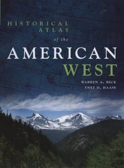
Historical Atlas of the American West Paperback Warren A., Haase,

ATLAS OF SOUTH AUSTRALIA – GRIFFIN & McCASKILL

The Oxford Advanced Atlas Bartholomew – Oxford University Press

National Geographic Atlas of the World – 5th Edition(Very Good condition)

Past & Present Maps (Cassini Historical Maps) and Old Series
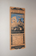
ORDNANCE SURVEY MAP. MIDLANDS. QUARTER-INCH MAP SHEET 8. 1935 4th EDITION

Le fabuleux passe des Sources de la Seine