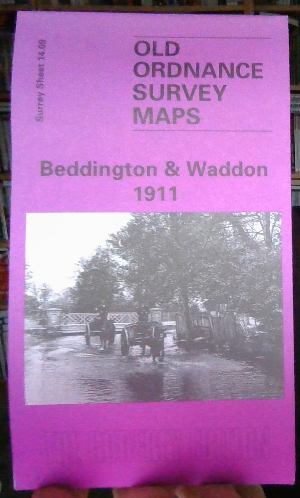
MAP OF Beddington and Waddon 1911: Surrey Sheet 14.09 by John W. Brown NEW
Specifications
| Return Postage Will Be Paid By | Buyer |
| Returns Accepted | Returns Accepted |
| After Receiving The Item, Your Buyer Should Cancel The Purchase Within | 30 days |
| Publisher | Alan Godfrey Maps |
| Publication Year | 1998 |
| Subject | Transportation |
| Item Height | 220 mm |
| Language | English |
| Type | Travel Maps |
| Author | John W. Brown |
| Format | Sheet Map |
Here are the details of maps for Beddington: Surrey Sheet 14.09 Beddington & Waddon 1911 - published 1998; intro by John W Brown. ISBN.978-0-85054-990-4 This detailed map covers the area west of Croydon which includes Beddington village and Waddon, with coverage stretching from Beddington Park eastward to Vicarage Road, Waddon. Features include St Mary's church, Beddington House, cemetery, Royal Female Orphan Asylum, River Wandle, Waddon Mills with Waddon Marsh New Siding, Wandle Mills, Croydon Sewage Works, part of Wandle Park, Waddon Lodge, Paragon Works, Waddon Court (whose 18th century occupant, John Parker, rode around the village each morning accompanied by a monkey dressed in fine clothes), Croydon Gas Works. There are street directories for Beddington Lane, Bute Road, Church Lane, Croydon Road, Demesne Road, Guy Road, Wandle Road; plus a railway timetable for the Croydon-Wimbledon line in 1908.
Related Items