
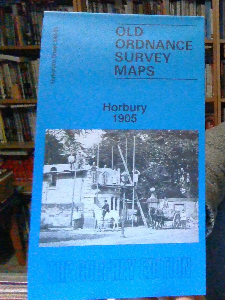
MAP OF Horbury 1905: Yorkshire Sheet 248.09 Goodchild, John NEW 9780850541755
USD 4.61 USD
Specifications
| Binding | Sheet map, folded |
| Artist | Goodchild, John |
| EAN | 9780850541755 |
| ISBN | 0850541751 |
| Length | 210.06 |
| Height | 4.06 |
| Width | 116.08 |
This detailed map covers Horbury and Horbury Bridge, just west of Wakefield. The River Calder and Calder & Hebble New Cut run through the map. The Lancashire & Yorkshire Railway crosses the map, with Horbury & Ossett station.
Related Items

Bishop Auckland by Ordnance Survey (Sheet map, folded)
Lonely Planet Havana City Map, Paperback by Lonely Planet, Like New Used, Fre…

Adelaide – Australia – Fold Out Map
Route Map 2008 (OS Travel Map – Route Map) by Ordnance Survey Sheet map, folded
Old Kent Road 1914: London Sheet 090.3 (O… by Nurse, Bernard Sheet map, folded

Las Vegas PopOut Map (Sheet map, folded)
Lonely Planet Lonely Planet Japan Planning Map (Map) Map
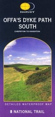
Offa’s Dyke Path South (Route Map) by Harvey Map Services Ltd Sheet map, folded