
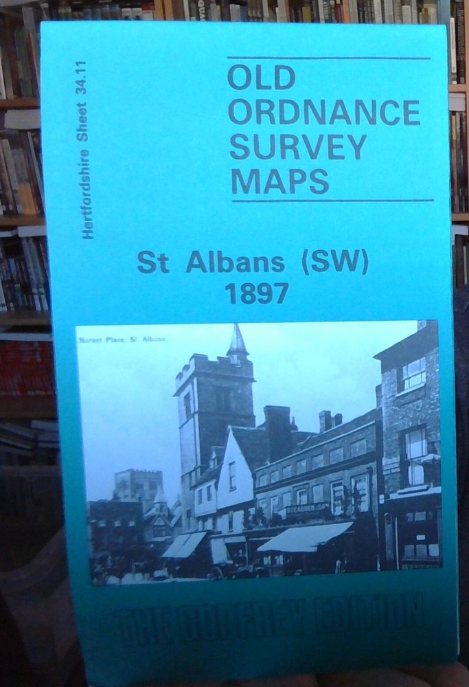
MAP OF St Albans (South West) 1897 HERTFORDSHIRE SHEET 34.11 NEW 9780850542387
USD 4.60 USD
Specifications
| Binding | Sheet map, folded |
| Artist | Taylor, Pamela |
| EAN | 9780850542387 |
| ISBN | 0850542383 |
| Length | 212.09 |
| Height | 4.06 |
| Genre | Travel & holiday |
| Width | 119.89 |
This detailed map covers the SW area of St Albans, including part of the city centre. Coverage runs from the Town Hall southward to St Stephens and westward to Praewood Farm.
Related Items

Lonely Planet Bath & Southwest England Planning Map

Malta – Michelin National Map 801

Southport & Chorley, Wigan Formby & Ormskirk Ordnance Survey OS Explorer Map 285

Vintage Barnett’s Street Plan with Index – Bury St. Edmunds

Lonely Planet Wales Planning Map

Australia Marco Polo Map by Marco Polo (Sheet map, folded)

Tipton 1904: Staffordshire Sheet 67.08 (O… by Pearson, Robin Sheet map, folded

Sudbury, Hadleigh & Dedham Vale Map | La… by Ordnance Survey Sheet map, folded