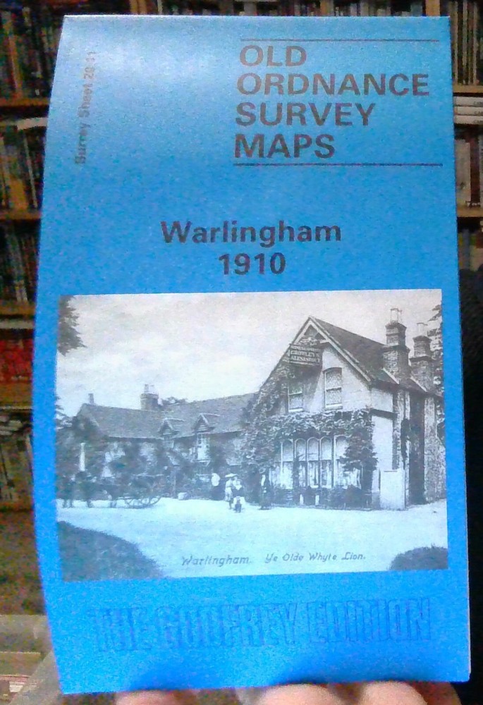
MAP OF Warlingham 1910: Surrey Sheet 20.11 by Richard Oliver NEW
Specifications
| Return Postage Will Be Paid By | Buyer |
| Returns Accepted | Returns Accepted |
| After Receiving The Item, Your Buyer Should Cancel The Purchase Within | 30 days |
| Publisher | Alan Godfrey Maps |
| Publication Year | 1995 |
| Subject | History |
| Item Height | 220 mm |
| Language | English |
| Type | Textbook |
| Author | Richard Oliver |
| Format | Sheet Map |
Here are the details of maps for Warlingham: Surrey Sheet 20.11 Warlingham 1910 - published 1995; intro by Richard Oliver. ISBN.978-0-85054-725-2 "A sad place, its village green a roundabout and a public garden, its cottages replaced piecemeal by shopping arcades" wrote Ian Nairn of Warlingham, but this map shows it when it did still have a village green. The village lies in the SE area of the map, which stretches north to Hamsey Green, west to Warlingham Court Farm. Our author Richard Oliver, an acknowledged expert on the Ordnance Survey but also here a local lad, suggests cycling round the map: "not so many streets have been constructed since 1910 that there is much danger of getting lost" he says. An 1899 directory of Warlingham is included.
Related Items