
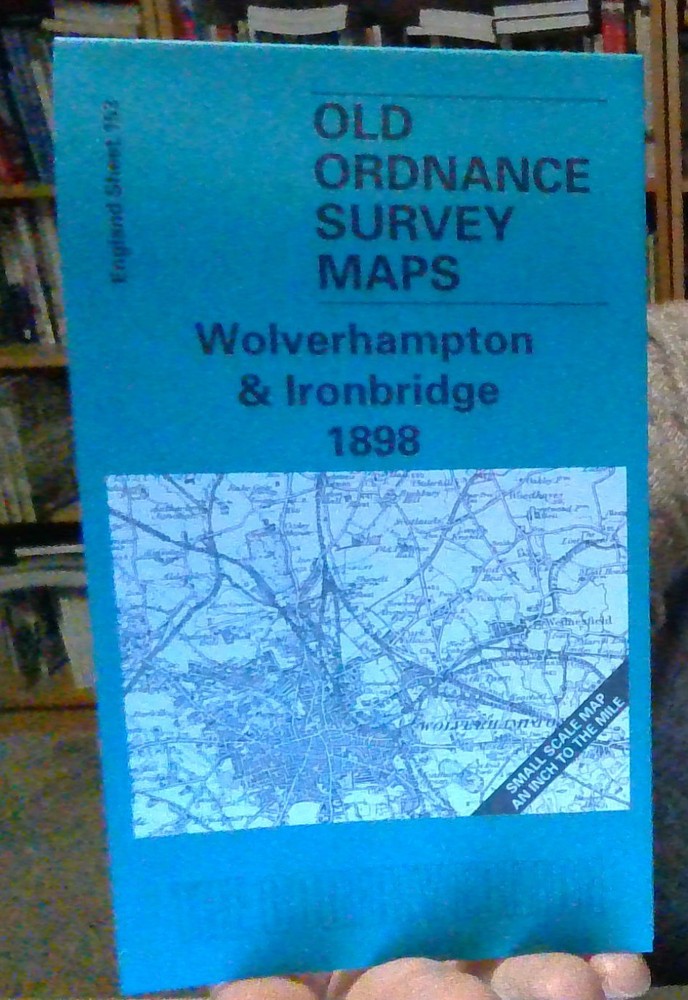
MAP OF Wolverhampton and Ironbridge 1898: One Inch Map 153 by Barrie Trinder NEW
USD 4.98 USD
Specifications
| Type | Foldable |
| Author | Alan Godfrey |
| Country | England |
MAP OF Wolverhampton and Ironbridge 1898. Coverage stretches across a busy area, from Oakengates and Dawley eastward to Wednesfield, and from Lilleshall and Teddesley Park southward to Wolverhampton.
Related Items

Isle of Wight Tourists Large Scale Road Map 1950s? Colour Map Cowes Ventnor

City Of Cambridge Map Showing Position Of Monuments Royal Commission England

Ordnance Survey Explorer 1:25,000: Sheet 153 Weston-super-Mare – 2005
Wiltshire Town Centre Maps

Oxford AZ Street Plan Map With Index Vintage Ordnance Survey – Free Postage

Cambridge & Newmarket – OS Landranger – Fold Out Map

Hereford & Leominster England OS Landranger GB Map 1:50000 First Series

OXFORD AND CAMBRIDGE CLUB MEMBERSHIP LIST 2013