
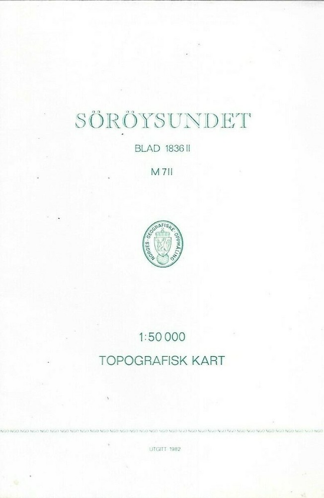
Norges Geografiske Oppmaling : Topografisk Kart Blad 1836 11: SOROYSUNDET
USD 4.02 USD
Specifications
| Publication Name | Soroysundet |
| Format & Map Type | Folding Map |
| Weight | 42 g |
| Publication Year | 1982 |
| Type | Geological Map |
| Format | Folding Map |
| Language | Norwegian and English |
| Country | Norway |
| Region | Europe / Norway |
| Features | Illustrated |
| Map Scale | 1:50,000 |
| Country Of Origin | Norway |
| Item Weight | 42g |
This folding map, titled "Norges Geografiske Oppmaling: Topografisk Kart Blad 1836 11: Soroysundet", is a detailed geological map of Norway's Soroysundet region. It features illustrations and is printed in both Norwegian and English.
Related Items

VINTAGE GEOLOGICAL MAP RICHMOND YORKSHIRE SHEET 41 GEOLOGICAL SURVEY 1970

Ordnance Survey Map Pathfinder 1244 Alton Four Marks 1:25000 SU 63/73

Map of Roman Britain Scale 16 miles to One Inch – Ordnance Survey 3rd Edition
Shell Road Guide QUEENSLAND

Port Fourchon and Approaches | Waterproof NOAA Chart 11346
1974 old vintage OS Ordnance Survey 1:50000 Landranger Map 173 Swindon Devizes

1962 U.S. Army Corps Of Engineers Navigation Charts Foster KY Cairo IL

Vintage MOD Ministry of Defence Ordnance Survey Map 55 Perth Alloa 1969