
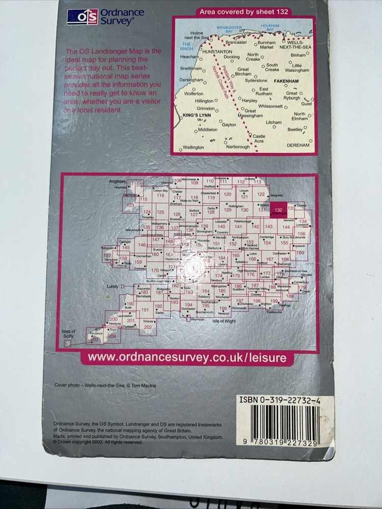
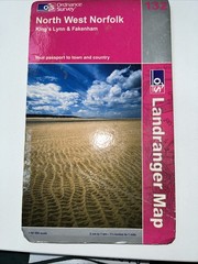
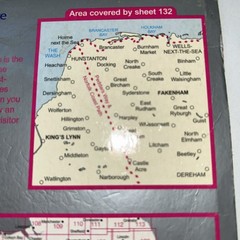
North West Norfolk/King’s Lynn/Fakenham OS 132 Landranger Sheet Map Folded
USD 3.36 USD
Specifications
| Publisher | Ordnance Survey |
| Subject | Transportation |
| Publication Year | 2006 |
| Type | Travel Maps |
| Format | Sheet Map |
| Language | English |
| Item Height | 240mm |
| Author | Ordnance Survey |
| Map Scale | 1:50,000 |
| Features | Folding Map |
| Country Of Origin | United Kingdom |
The North West Norfolk/King's Lynn/Fakenham OS 132 Landranger Sheet Map is a detailed travel map published by Ordnance Survey in 2006. This folded sheet map features a map scale of 1:50,000 and is in English language. It provides comprehensive coverage of the North West Norfolk region, including King's Lynn and Fakenham, making it a valuable resource for transportation and navigation purposes. With its compact dimensions of 240mm in height, this map is a practical and informative tool for planning trips and exploring the area.
Related Items

Philip’s Atlas of the World by Philip’s Maps Hardback Book The Fast Free

The Hidden Case of Ewan Forbes: The Transgender Trial that Threatened to Upend t

Las Vegas NV Street Guide & Directory 22nd Edition Spiral Wired Wide World

ROYAL LEAMINGTON SPA & WARWICK Street plan with index – by Barnett’s circa 1990

2008 Michelin Local Map No. 304 Eure, Seine-Maritime

Landranger 139. Birmingham. OS 1:50,000 Map. Ordnance Survey. Vintage.
Vintage Chevron CALIFORNIA Road Map Standard Stations Folding Paper Redwood Tour

Spain Cabo de Gata – Nijar Editorial Alpina hiking map with route suggestions