
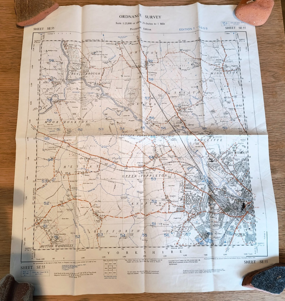
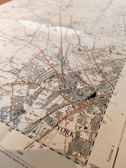
Ordinance Survey map War Office sheet SE55 GSGS 4627 Yorkshire Edition 1 1956
USD 12.08 USD
Specifications
| Publication Year | 1956 |
| Series | Ordnance Survey |
| Type | Sheet map |
| Language | English |
| Publication Name | Sheet SE 55 |
| Country | United Kingdom |
| Region | Great Britain |
| Author | Ordinance Survey |
| Map Scale | 1:25,000 |
| Publisher | Ordnance Survey |
| Country Of Origin | United Kingdom |
The War Office OS map sheet number SE 55 (GSGS 4627) is a first edition Ordnance Survey map from 1956, depicting Yorkshire county in the United Kingdom. This map features York, Wigginton and Hessay.
Related Items

Morocco (Berlitz Pocket Guides) – Paperback By Berlitz Guides – GOOD
VINTAGE OS MAP OF ASHURSTWOOD AREA SUSSEX 1932 EDITION – SIX INCHES TO ONE MILE

Aylsham, Reepham & District 1908 One Inch Sheet 147 by Robert Malster

Antique colour county map Sussex late Victorian George Philip – Railways
1949 Bartholomew’s Half-Inch contoured linen map No. 8 Salisbury Plain

OS Ordnance Survey 1″ New Popular Edition 107 Snowdon – 1947 on paper

The World – Michelin rolled & tubed wall map Encapsulated by Michelin (English)
OS Ordnance Survey Landranger Map Sheet 191 Okehampton & North Dartmoor – 2004