
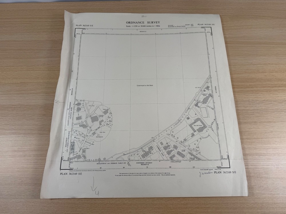
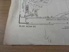
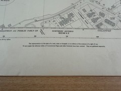
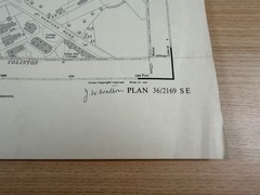
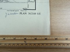
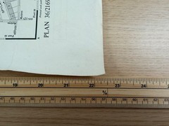
Ordnance Survey 1:1250 Plan 36/2169 SE Colinton Edinburgh c1948 Vintage Map
USD 17.37 USD
Specifications
| Publication Name | Ordnance Survey |
| Publisher | Ordnance Survey |
| City | Edinburgh |
| Subject | Geography & Geosciences |
| Series | Ordnance Survey |
| Publication Year | 1948 |
| Type | Map |
| Format | Wall Map |
| Language | English |
| Country | United Kingdom |
| Region | Edinburgh, Midlothian |
| Map Scale | 1:1,250 |
| Country Of Origin | United Kingdom |
The boundary between the County of the City of Edinburgh (Colinton Ward) and Midlothian runs through the area. Ideal for anyone with connections to the Colinton area, local history researchers, or collectors of early National Grid Ordnance Survey mapping.
Related Items

Freytag-Berndt wall-map: East Germany, 1:500.000, rolled in a (Map) (UK IMPORT)

Goode’s World Atlas by Rand McNally Staff (2009, Trade Paperback)

PRE-OWNED PAPERBACK THE STORY OF THE SECOND WORLD W 1969 HISTORY GERMANY JAPAN
Filisur (Map) 1/25 (UK IMPORT)

Rand McNally Easy to Fold: Iowa State Laminated Map (Map)

Maphead : Charting the Wide, Weird World of Geography Wonks by Ken Jennings…

Map Use: Reading, Analysis, – Paperback, by Kimerling A. Jon; – Acceptable

Shepton Mallet Mendip Hills East Map Frome Midsomer by Ordnance Survey