
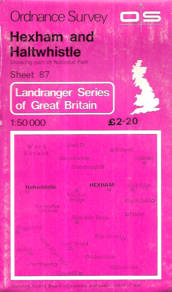
Ordnance Survey 1:50,000 Map – Hexham & Haltwhistle, Sheet 87 – 1980
USD 4.03 USD
Specifications
| Country Of Origin | United Kingdom |
| Publication Name | Hexham and Haltwistle |
| Publisher | Ordnance Survey |
| Series | Ordnance Survey |
| Publication Year | 1976 |
| Type | Map |
| Format | Sheet Map |
| Language | English |
| Region | Great Britain |
| Author | Ordnance Survey |
| Country | United Kingdom |
| Map Scale | 1:50,000 |
| Features | Folding Map |
The Ordnance Survey 1:50,000 Map of Hexham & Haltwhistle, Sheet 87 from 1980 is a detailed folding map produced by the renowned Ordnance Survey. Featuring a scale of 1:50,000, this English-language map covers the United Kingdom's Great Britain region, specifically focusing on the areas of Hexham and Haltwhistle.
Related Items

ABERYSTWYTH & surrounding area – Ordnance Survey Landranger map

Large Selection Of Mostly Vintage Ordnance Maps Of England And Isle Of Man

Jungfrau Region (Switzerland) Walking Map 3323T – 1:33,333 scale

Central Scotland 4 OS Admin Boundary Map by Ordnance Survey 9780319089422
Grantham (Map) OS Explorer Map (UK IMPORT)
OS Ordnance Survey Landranger Map Sheet 142 Peterborough –

2025 Deluxe Motor Carriers Road Atlas– Laminated Pages–Rand McNally
Pictorial Guide To The Lakeland Fells #1 Eastern Fells by Alan Wainwright