
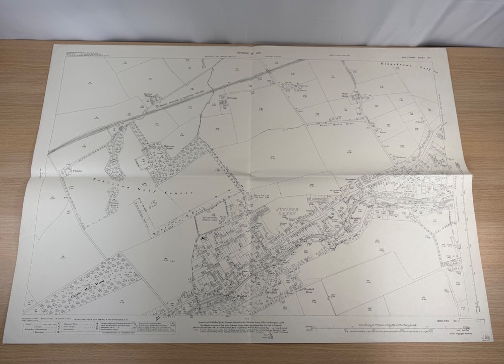
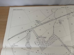




Ordnance Survey 25 Inch Map Juniper Green Baberton Edinburgh Midlothian 1934
USD 30.93 USD
Specifications
| Publication Name | Ordnance Survey |
| Publisher | Ordnance Survey |
| City | Edinburgh |
| Subject | Geography & Geosciences |
| Series | Ordnance Survey |
| Publication Year | 1934 |
| Type | Ordnance Survey Map |
| Format | Wall Map |
| Language | English |
| Country | Scotland |
| Region | Great Britain |
| Features | Folding Map |
| Map Scale | 1:2,500 |
| Country Of Origin | United Kingdom |
This particular sheet covers the villages and farmland west of Edinburgh, including Juniper Green, Baberton with Baberton House and Baberton Golf Course, Currie, Kingsknowe Golf Course, Wester Hailes, Woodhall and the Water of Leith.
Related Items
OS One Inch Map – Dolgelley – Sheet 116 – 1947 – Ordnance Survey

GERMANY: ROAD MAP 1:500K FB (ENGLISH, SPANISH, FRENCH, By Freytag & Berndt *NEW*

Rand McNally WORLD ATLAS Premier Edition 1929 Green & Gilt cover Color Maps USA

NOAA Waterproof Custom Chart (NCC) – ANSI C (17 x 22)

1001 Escapes to Experience Bef – VERY GOOD

Southampton Street Plan by Geographers’ A-Z Map Company Sheet map, folded Book
OS Ordnance Survey Landranger Map – 1st Series – Please select any available map

St David’s Peninsula 1909 One inch Sheets 192/209 by Dillwyn Miles