
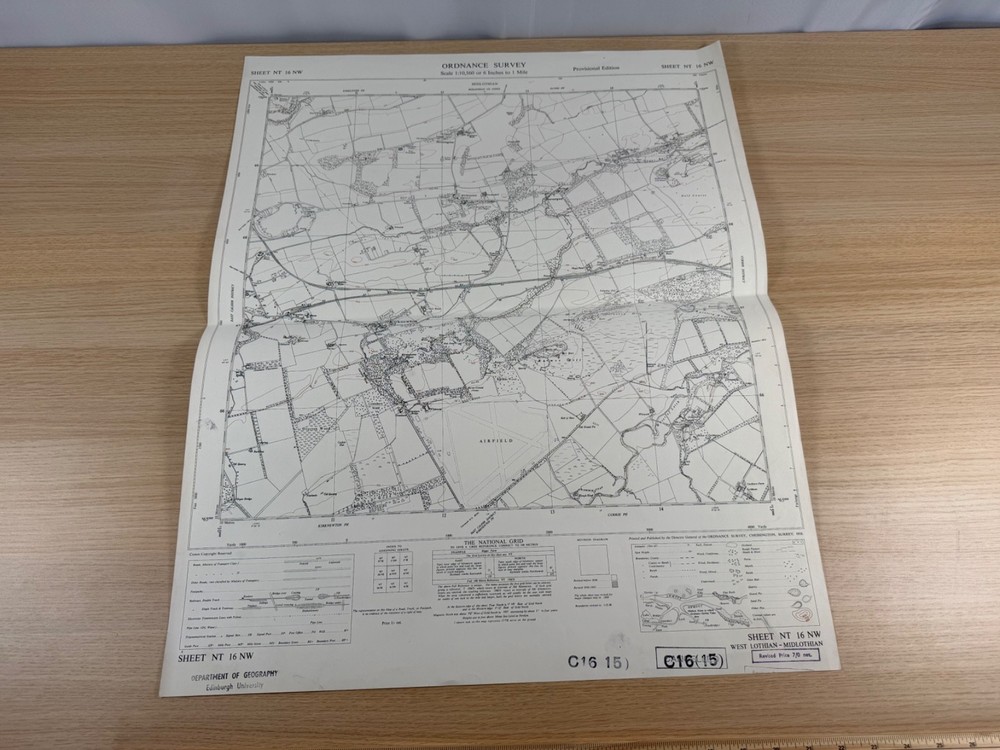


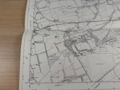
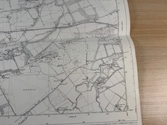
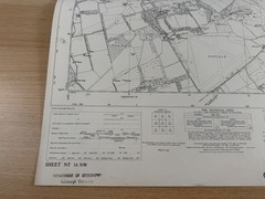
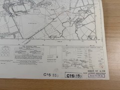



Ordnance Survey 6 Inch Map 1958 NT 16 NW Kirknewton RAF Airfield West Lothian
USD 25.55 USD
Specifications
| Publication Name | Ordnance Survey |
| Publisher | Ordnance Survey |
| Series | Ordnance Survey |
| Publication Year | 1958 |
| Type | Street Map/Directory |
| Format | Wall Map |
| Language | English |
| Region | Great Britain |
| Map Scale | 1:10,560 |
| Country Of Origin | United Kingdom |
The sheet covers a fascinating slice of country on the western edge of Edinburgh, including the villages of Kirknewton, Wilkieston, Burnwynd and Bonnington, the East Calder District, and Currie and Ratho parishes.
Related Items

OS Ordnance Survey, Pathfinder Map, Sheet: SP 44/54, Banbury ( North )
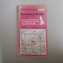
Ordnance Survey Sheet 103 Blackburn & Burnley Map

90 LAKE PENRITH KESWICK AQUA ACTIVE WATERPROOF LANDRANGER ORDNANCE SURVEY MAP OS

Portrait of the Dart Valley Railway: A pictorial souve… by No author. Hardback

The Worst Case Scenario Survival Handbook: – 0811831310, paperback, Joshua Piven

Rand McNally Road Atlas Large Scale – Spiral-bound, by Rand McNally – Acceptable
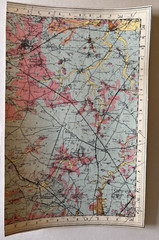
Geological Survey of Great Britain: Coventry 169 (part sheet)

OS Ordnance Survey Landranger Map Sheet 185 Winchester & Basingstoke area – 1995