
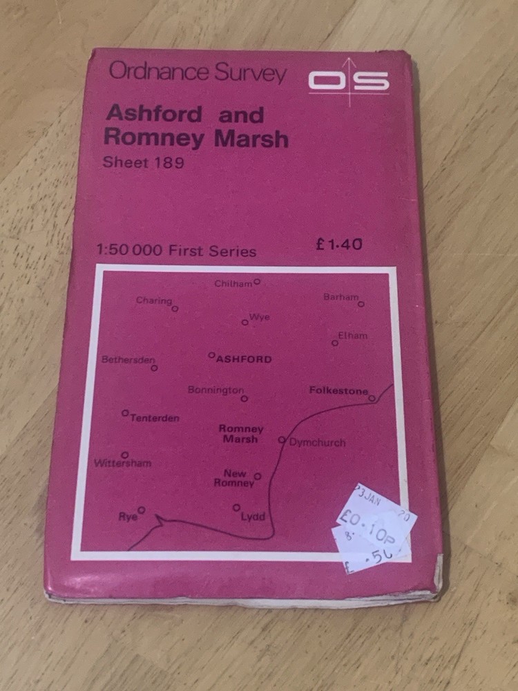



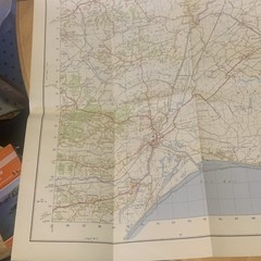
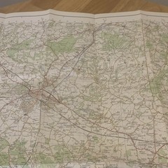
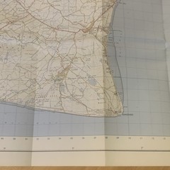
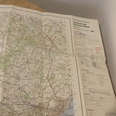

Ordnance Survey Ashford Romney Marsh 189 First Series Map OS Kent 1:50000
USD 6.65 USD
Specifications
| Map Scale | 1:50,000 |
| Type | Hiking Map |
| Publication Name | Collins Primary Atlas |
| Author | Ordnance Survey |
Covers Ashford, Romney Marsh, New Romney, Dymchurch, Hythe, Folkestone, Tenterden, Rye and surrounding Kent areas. Original Ordnance Survey First Series map of Ashford & Romney Marsh (Sheet 189). Small price sticker on front cover.
Related Items

OS Ordnance Survey Landranger Map 1985, Sheet 128, DERBY & BURTON UPON TRENT

OS Ordnance Survey, Pathfinder Map, Sheet: 158 Upper Strathconon
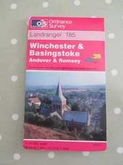
OS LANDRANGER MAP 185 WINCHESTER & BASINGSTOKE ORDNANCE SURVEY

Ely & Newmarket Map | Mildenhall & Soham… by Ordnance Survey Sheet map, folded

Ordnance Survey Map – Marple – 1:25000 First Series – 1970 updated

Ordnance Survey. Northallerton & Ripon Map 99 Laminated Landranger. 1:50 000.

OS, 6 Inch to 1 Mile Map, sheet ST 72 SW, Somerset, Abbas & Templecome area,1984

OS Routemaster Map Sheet 3 Western & Central Scotland 1:250 000 Printed 1982