
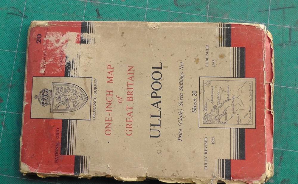
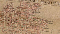
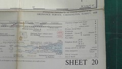
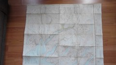
Ordnance Survey cloth map ULLAPOOL sheet 20 published 1958. 1 inch: I mile
USD 8.77 USD
Specifications
| Publication Year | 1958 |
| Type | map |
| Format | map |
| Language | English |
| Publication Name | Ordnance Survey map |
| Author | Ordnance Survey |
| Country | Scotland |
| Region | Scotland |
| Map Scale | 1:63360 |
| Country/Region Of Manufacture | United Kingdom |
Ordnance Survey sheet 20 Ullapool, Scotland. National Grid 7th Edition. revised 1955, published 1958. Folded paper map on cloth backing.
Related Items

The Times Atlas of the World by Jones, Moira Hardback Book The Fast Free

EXPLORER’S GUIDE CAPE CANAVERAL, COCOA BEACH & FLORIDA’S By Dianne Marcum *Mint*

Spain & Portugal 2026 – Michelin National Map 734 by Michelin

OS 1:50,000 Landranger Sheet 196 Solent and The Isle of Wight, 1984

The Pocket Butler’s Guide to Travel : Essential Advice for Every

Llangadog & East Carmarthenshire 1909 One Inch Sheet 212 by Alan Leather

Leasingthorne, Leeholme & Coundon 1915 Durham Sheet 42.04 by Alan Godfrey

Ordnance Survey Map – Seventh Series – No. 111 – Buxton & Matlock- Paper – 1962