
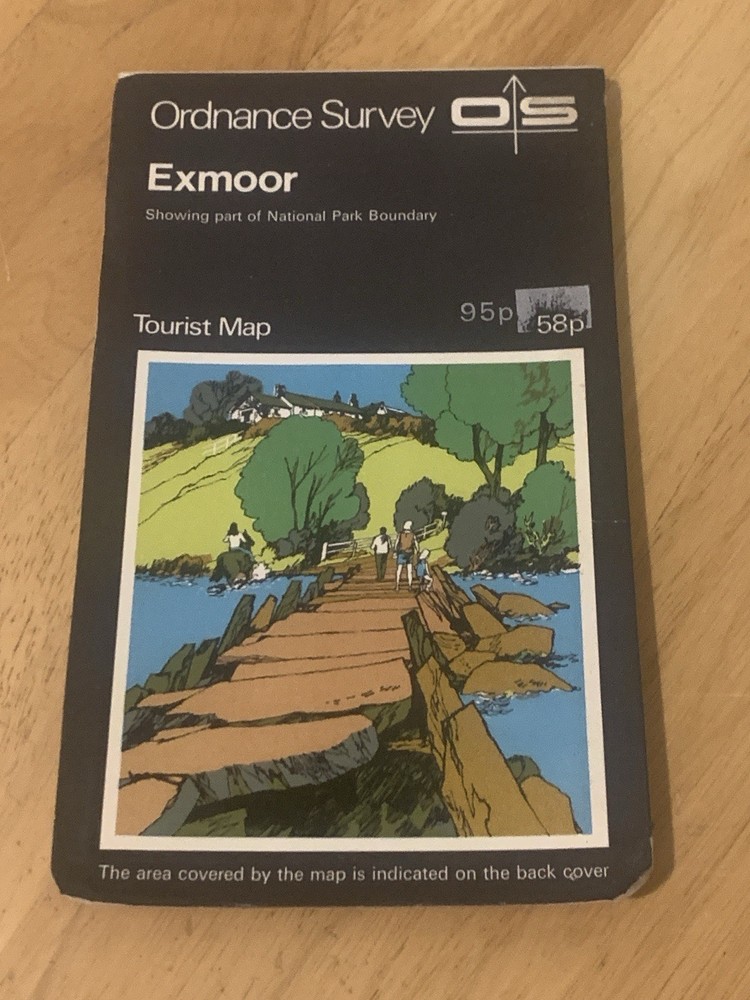



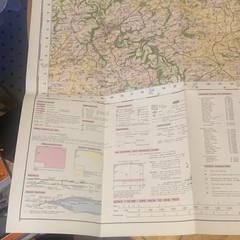





Ordnance Survey Exmoor Tourist Map OS National Park Walking Hiking 1973
USD 9.40 USD
Specifications
| Publication Year | 1973 |
| Type | Hiking Map |
| Publication Name | Collins Primary Atlas |
| Author | Ordnance Survey |
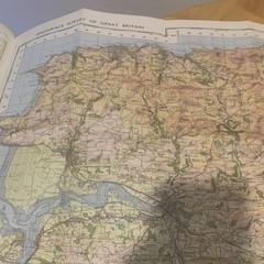
Official Ordnance Survey tourist map of Exmoor, showing part of the National Park boundary. Covers Exmoor National Park and surrounding areas including Porlock, Lynton, Lynmouth, Dulverton, Minehead and more.
Related Items

Old Ordnance Survey Reprint. London Sheet 99. Putney Bridge. 1894

OS Ordnance Survey Landranger Maps – assorted editions 1993-2000 – ‘as new’
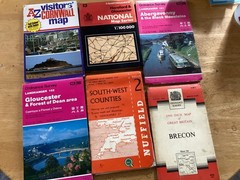
ordnance survey maps bundle South West Counties Abergavenny Black Mountains

The Times Concise Atlas of Thae World

North York Moors – Eastern Area by Ordnance Survey (Sheet map, folded)

1945 Military System Map- Stirling & Dunfermline War Office Edition

1926 Ordnance Survey Half Inch Road Cloth Map 33 Salisbury, Winchester & Reading

1960’s Map of South Wales Monmouthshire Ordnance Survey 1:25,000