


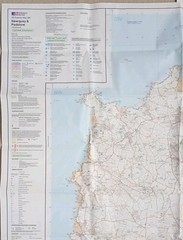


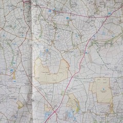


Ordnance Survey Explorer Map 106: Newquay & Padstow (2008).
USD 7.40 USD
Specifications
| Series | Ordnance Survey |
| Publication Year | 2008 |
| Type | Explorer Map |
| Format | Folding Map |
| Language | English |
| Country | England |
| Map Scale | 1:25,000 |
| Publisher | Ordnance Survey |
| Country Of Origin | United Kingdom |
Ordnance Survey Explorer Map 106: Newquay & Padstow including Wadebridge, Port Issac & St Columb Major (2008). Showing part of the South West Coast Path. This map is in very good condition for its year with no pen, pencil marks, highlighting or tears. There's slight wear along the folds. The cover has surface wear and slight creasing on both sides, along the edges and corners. Overall, the map sheet is in better condition than the cover. Please see all photo's.
Related Items

Ordnance Survey Ireland Sheet 5: South West. 3rd Edition, 1966. Scale: 1:250,000

Ordnance Survey Landranger Map Sheet 191 Okehampton & North Dartmoor ~ 1974

Lonely Planet’s Ultimate Travel List 2nd Edition

1979 Bartholomew Grand Touring Series map – Wales
The World Book atlas

Philip’s Street Atlas Bedfordshire: Spiral Edition by VARIOUS Spiral bound Book
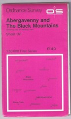
ORDNANCE SURVEY MAP: ABERGAVENNY & THE BLACK MOUNTAINS

Ordnance Survey Quarter Inch map series blue cover and 5th series £2.25