
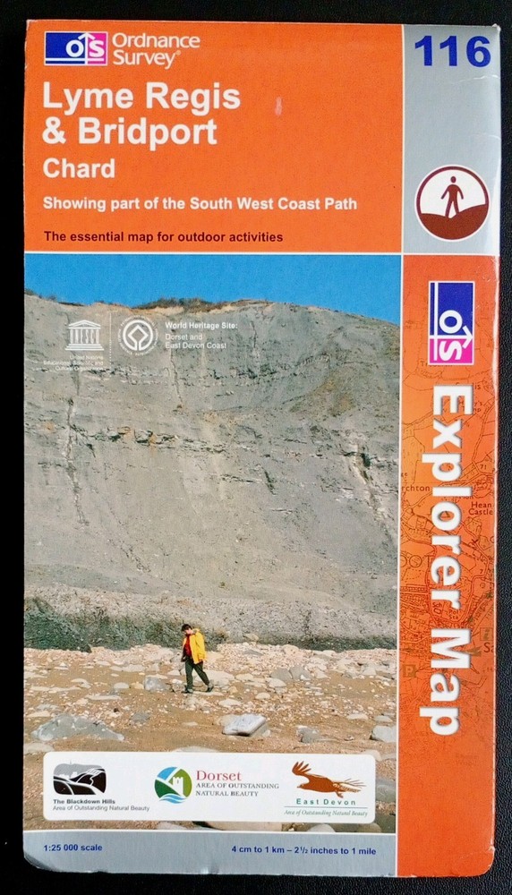

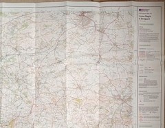
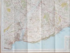
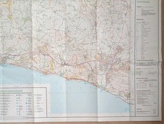
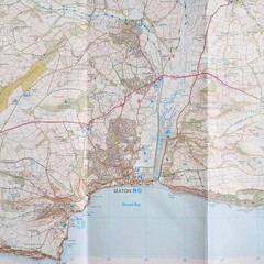
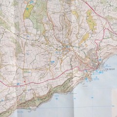
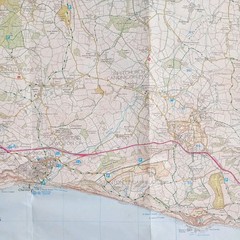


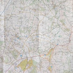
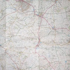
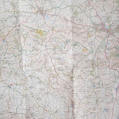
Ordnance Survey Explorer Map 116: Lyme Regis & Bridport (2008).
USD 6.15 USD
Specifications
| Series | Ordnance Survey |
| Publication Year | 2008 |
| Type | Explorer Map |
| Format | Folding Map |
| Language | English |
| Country | England |
| Map Scale | 1:25,000 |
| Publisher | Ordnance Survey |
| Country Of Origin | United Kingdom |
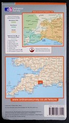
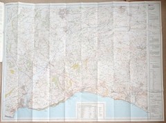
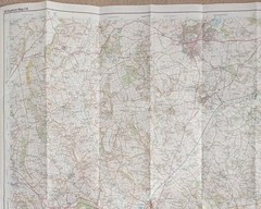
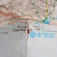
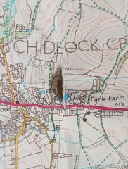
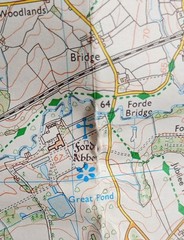
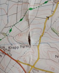
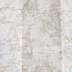
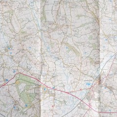
Ordnance Survey Explorer Map 116: Lyme Regis & Bridport including Chard (2008). Showing part of the South West Coast Path. This map is in fairly good condition for its year with no pen, pencil marks or highlighting. There's wear and creasing on and near the folds with 4 small tears, please see photo's 9, 10, 11 and 12. The cover has surface wear on both sides, along the edges and corners. Please see all photo's.
Related Items

Llangollen 1910 Denbighshire Sheet 34.15 by Derrick Pratt

Loire / Anjou / Touraine pnr F (833… by IGN Institut Géograp Sheet map, folded

OS Ordnance Survey One Inch Cloth Map, of Shrewsbury , Sheet 118 1961

Collins World Wall Laminated Map by Collins Maps, Collins Maps, Like New Used…

Ordnance Survey Map 1:25,000 Pathfinder Sheet SD 28/38 Broughton-in-Furness

Postcode Sector Wall Map 28 Scottish Highlands – Motorway A & B Road (Paper)

FRANCE MICHELIN EUROPE INTERNATIONAL JOB LOT ORDNANCE SURVEY MAPS

Falkirk, Cumbernauld and Livingstone (Map) OS Explorer Active Map