


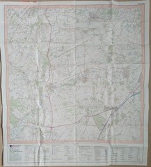
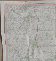

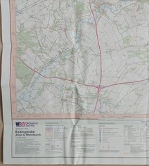
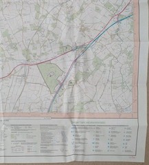


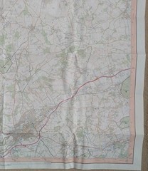


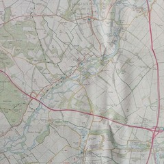


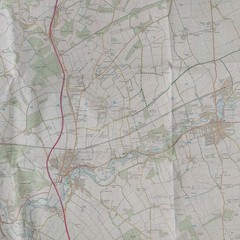

Ordnance Survey Explorer Map 144: Basingstoke, Alton & Whitchurch (2004).
USD 6.15 USD
Specifications
| Series | Ordnance Survey |
| Publication Year | 2004 |
| Type | Explorer Map |
| Format | Folding Map |
| Language | English |
| Country | England |
| Map Scale | 1:25,000 |
| Publisher | Ordnance Survey |
| Country Of Origin | United Kingdom |
Ordnance Survey Explorer Map 144: Basingstoke, Alton & Whitchurch including Odiham, Overton & Hook (2004). This 2-sided map (West & East) is in good condition for its year with no pen or pencil marks, highlighting or tears. There's slight wear along the folds. The cover has surface wear on both sides, along the edges and corners. There's a tiny tear on the front left edge. Please see all photo's.
Related Items

Collins World Atlas: Essential Edition by Collins Maps Paperback / softback The
Ordnance Survey 1:25,000 First Series Map Sheet SP 96 Wellingborough (East)
historical atlas of the world
Bamfurlong & Bryn Gates 1906 Lancashire Sheet 101.04 by Alan Godfrey

U S AIRWAYS Folder w/ World Atlas: 2003/VG/Rare/Faux Leather (see photos)
Vintage Ordnance Survey 5th Ed, One Inch Cloth Map, S W London & Windsor, 1934

OS Ordnance Survey Landranger Maps – Pink covers – 1974-1982 – ‘very good cond’

Vintage Ordnance Survey Map Of England South Sheet 11, 1919