


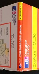









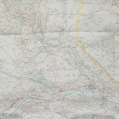
Ordnance Survey Explorer Map OL30: Yorkshire Dales – Northern & Central areas.
USD 7.40 USD
Specifications
| Series | Ordnance Survey |
| Publication Year | 2002 |
| Type | Explorer Map |
| Format | Folding Map |
| Language | English |
| Country | England |
| Map Scale | 1:25,000 |
| Publisher | Ordnance Survey |
| Country Of Origin | United Kingdom |
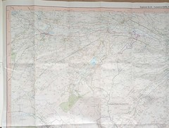
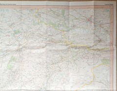
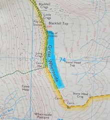
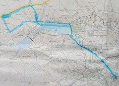
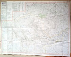
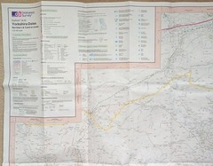
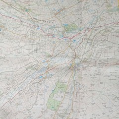
Ordnance Survey Explorer Map OL30: Yorkshire Dales - Northern & Central areas (2002). Showing Wensleydale, Swaledale, part of the National Park & the Pennine Way. This 2-sided map (North & South) is in acceptable condition for its year with no tears. There's highlighting in blue pen on the Northern and Central side for Middlesmoor and Scar House Reservoir area, please see photo's 9, 10 and 11. No other pen, pencil marks or highlighting can be seen. Also there's slight wear along the folds. The cover has surface wear and creasing on both sides, mainly along the edges and corners. There's a small tear on the back right side and a place name (Hawes) written in blue pen. Please see all photo's.
Related Items

Peebles (Map) 1: 50 000 Series Geological Maps (Scotland) (UK IMPORT)

Ordnance Survey Landranger 1:50,000 Bedford, Huntingdon & Surrounding 153
c1978 Shell Supermap No. 5 Central & Southern Scotland
Nicolson Road 3, South Scotland by M. V. Nicolson (Sheet map, folded)
Picos de Europa National Park 3 map and guide set (English)

Compact World Atlas by DK (English) Paperback Book

Maps and the 20th Century: Drawing the Line by Tom Harper Hardback Book The Fast
North Shropshire Plain 1904 One Inch Sheet 138 by Derrick Pratt