
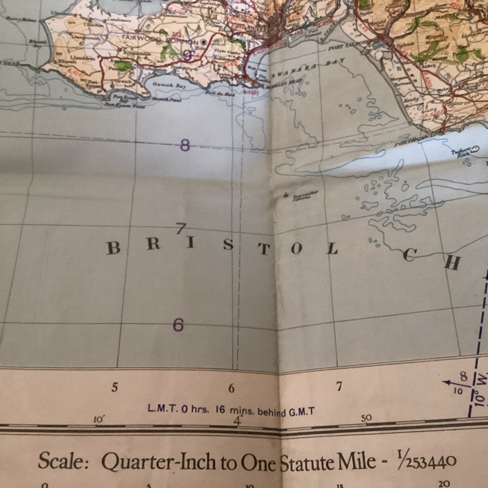
Ordnance Survey Fourth Edition 1/4″ map: sheet 11 England, South – 1946 paper
USD 13.44 USD
Specifications
| Series | Seventh Series |
| Publication Year | 1946 |
| Type | Map |
| Publication Name | Map |
| Author | Ordnance Survey |
| Country | England, Wales |
| Publisher | Ordnance Survey |
| Country Of Origin | United Kingdom |
The Ordnance Survey Fourth Edition 1/4" map: sheet 11 England, South - 1946 paper is a valuable historical map published by the Ordnance Survey in 1946 as part of their Seventh Series. This map focuses on England and Wales, providing detailed information on the region with a scale of 1/4 inch to the mile. As a paper map, it offers a traditional and durable format for exploring and studying the landmarks, districts, and features of the area. The Ordnance Survey's reputation for accuracy and reliability make this map a valuable resource for historians, geographers, and anyone interested in the topography of England and Wales in the mid-20th century.
Related Items

Poetry map of Edinburgh – Douglas Fraser – Scottish Poetry Library.

OS Ordnance Survey Outdoor Leisure 27 North York Moors – Eastern area – 1986 edn

An Atlas of Tolkien (Tolkien Illustrated Guides)

Complete Atlas of the World, 4th Edition – Hardcover By DK – GOOD

Map Addict: A Tale of Obsession, Fudge the Ordnance Survey – ACCEPTABLE

GERMANY SOUTHERN 2ND EDI 1:415K ITM By Itmb Publishing Ltd **BRAND NEW**

Mapping by David Greenhood Paperback. 1964

Ordnance Survey Map – “English Lakes, South Eastern Area” 1:25 000