
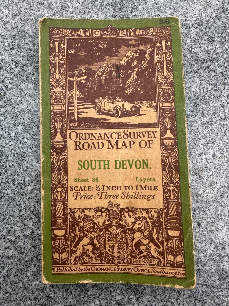
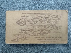


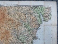
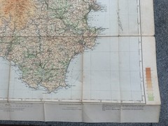

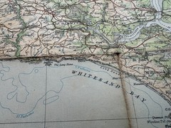
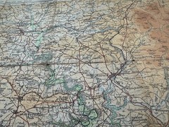
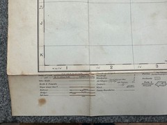


Ordnance Survey half inch map sheet 35 1925, SW Cornwall Scilly Isles – layers
USD 9.82 USD
Specifications
| Country Of Origin | United Kingdom |
| Publication Year | 1913 |
| Series | Ordnance Survey |
| Type | Road Atlas |
| Format | Paperback |
| Language | English |
| Publication Name | Ordnance Survey |
| Country | England, Scotland |
| Region | Great Britain |
| Features | Folding Map |
| Publisher | Ordnance Survey |
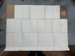
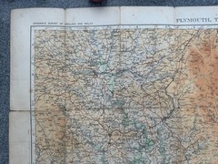
A rather fragile 1/2" map of SW Cornwall and the Scillies sheet 35 from 1925 but this map is 100 years old! Thr covers are actually fixed to the back of the map sheet, and as such, both are coming detached from the rest of the map - in fact the section with the rear cover on, is almost held by a thread.
Related Items

Rome: The Biography of a City – Paperback By Hibbert, Christopher – GOOD
Map Cape Wrath Ordnance Survey Vintage ra

BARTHOLOMEW GT MAP SERIES, WEST COUNTRY, FOLDING MAP

The Illustrated Atlas of Hawaii: An – Paperback, by Gavin Daws; O. – Very Good

Patrick Smith Cockpit Confidential (Paperback)

Temple Newsam 1905 Yorkshire Sheet 218.08 by Alan Godfrey

West Drayton (South) 1935 Middlesex Sheet 14.16 by Peter Hounsell
Clermont-Ferrand: Blay Map (M14)