
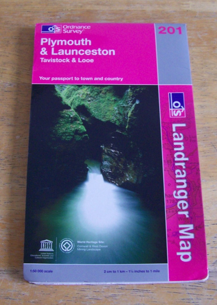
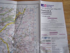
Ordnance survey Landranger map 201 Plymouth & Launceston, 2008
USD 2.60 USD
Specifications
| Publication Name | Landranger map |
| Publisher | Ordnance Survey |
| City | Plymouth |
| Series | Ordnance Survey |
| Publication Year | 2008 |
| Type | Folded map |
| Language | English |
| Region | Great Britain |
| Country | United Kingdom |
| Author | Ordnance Survey |
| Map Scale | 1:50,0, 1:50,000 |
| Country Of Origin | United Kingdom |
| ISBN | 9780319231463 |
The Ordnance Survey Landranger map 201 Plymouth & Launceston, published in 2008, is a detailed folded map of the Plymouth region in Great Britain. Produced by Ordnance Survey, the official mapping authority of the United Kingdom, this map features a scale of 1:50,000 and includes information on roads, buildings, and attractions in the Plymouth and Launceston areas. With English language text and a focus on the United Kingdom, this map is a useful resource for travellers and residents alike.
Related Items

Horncastlep (Map) 1: 50 000 Series Geological Maps (England & Wales) (UK IMPORT)

DK Publishing Eyewitness Atlas of the World Hardcover Illustrated English

Michelin Calvados Manche – Michelin Local Map 303 (Map) (UK IMPORT)

Thetford (North) or (South) 1903 Norfolk Sheets 102.08 or 102.12
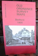
MAP OF Bedford 1900 Bedfordshire Sheet 11.16a by Tony Kirby NEW 9781787214026

Hastings OS Ordnance Survey One Inch Map Sheet 184 1969

Frommer’s Japanese PhraseFinder & Dictionary

Danny Dorling Benjamin Hennig Dimitris Ball The Social Atlas of Euro (Hardback)