
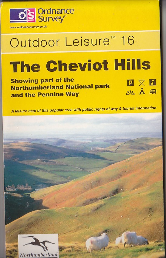
Ordnance Survey Map 1:25,000 Outdoor Leisure Sheet 16 The Cheviot Hills
USD 5.30 USD
Specifications
| Type | Ordnance Survey Map |
| Publication Name | Ordnance Survey Map |
| Author | Ordnance Survey |
| Map Scale | 1:25,0 |
| Publisher | Ordnance Survey |
| Country Of Origin | United Kingdom |
The Cheviot Hills, showing part of the Northumberland National park and the Pennine Way. Ordnance Survey 1:25,000. Outdoor Leisure Map.
Related Items

Dudley, Bridgnorth & District 1898 One Inch Sheet 167 by Barrie Trinder

Western Scotland & the Western Isles (Map) OS Road Map

Vintage Pratt’s Road Atlas of England Wales Anglo-American Oil Co Motoring Map
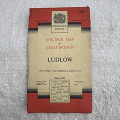
Ludlow Vintage Ordnance Survey Map 1952 Sheet 129

STRATHPEFFER Sheet 27 1957 CLOTH Seventh Series Ordnance Survey 1 Inch map

Ordnance Survey Outdoor Leisure 22 – The New Forest – 1996

Leytonstone & Leyton 1893, 1915 or 1940 London Sheet 23

Vintage England Sheet 8 Ordnance Survey Map 1 Inch Scale Cloth Backed OS