
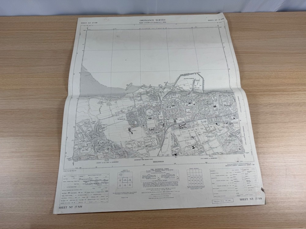
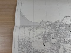
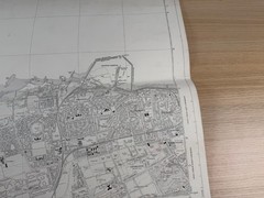

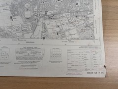
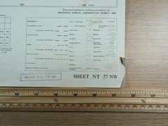
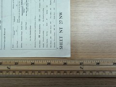
Ordnance Survey Map Edinburgh Granton 1955 6 Inch NT 27 NW Sheet 1:10560 Vintage
USD 33.62 USD
Specifications
| Publication Name | Ordnance Survey |
| Publisher | Ordnance Survey |
| City | Edinburgh |
| Subject | Geography & Geosciences |
| Series | Ordnance Survey |
| Publication Year | 1955 |
| Type | Geological Map |
| Format | Wall Map |
| Language | English |
| Region | Great Britain |
| Map Scale | 1:10,560 |
| Country Of Origin | United Kingdom |
The sheet shows north-west Edinburgh and stretches out into the Firth of Forth. Areas you'll find on this map include Granton (with Granton Harbour, the Western Breakwater, Eastern Breakwater, Middle Pier, Granton Station and the Lighthouse and Clock Tower clearly drawn), Wardie, Trinity, Bangholm, Goldenacre, Inverleith — including the Royal Botanic Garden & Arboretum and Inverleith Park — as well as Pilton, Drylaw, Muirhouse, Davidson's Mains and the surrounding farmland to the west, with the County of the City of Edinburgh and Midlothian boundaries plainly indicated.
Related Items
Vintage Rand McNally Grand Atlas And Picture Book Of The World – Leather 1977

Glamping with MaryJane, Glamour + Camping By MaryJane Butters Hardcover 2012, VG

USGS Geologic Map of the Deer Creek Quadrangle, Lincoln County, Wyoming w/Sleeve

Lonely Planet The Travel Hack Handbo…, Planet, Lonely

OS Pathfinder Ordnance Survey Map / Sheet 1:25000 CHOOSE A MAP MANY AVAILABLE

Rand McNally 2021 Large Scale Road Atlas (Rand McNally Road Atlas)
ORDNANCE SURVEY “Worcester and the Malverns, Evesham and Tewkesbury” Sheet 150

Ordnance Survey (OS) 1:25,000 First Series Map Sheet SH71 Dolgelley (Dolgellau)