

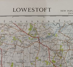

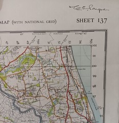
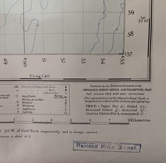
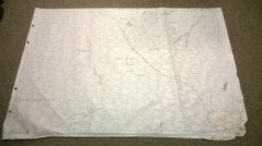
Ordnance Survey Map – Lowestoft. (1946). 1 Inch = 1 Mile. 73cm x 90cm. VGC
USD 13.38 USD
Specifications
| Publication Year | 1946 |
| Type | Road and Topographical |
| Publication Name | Ordnance Survery Map |
| Author | Ordnance Survey |
One of a number which was used in a drawing office. Ideal for framing. Sorry for any inconvenience.
Related Items
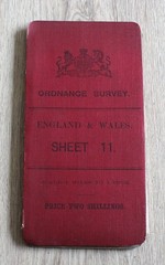
Vintage 1905 Ordnance Survey England & Wales Sheet 11 Cloth Backed Map 1 inch

Ordnance Survey Landranger Cheviot Hills And Kielder Forest Sheet 80

VINTAGE OS MAP POTTERS BAR SOUTH AREA HERTFORDSHIRE 1938 SIX INCHES TO ONE MILE

OS Ordnance Survey Landranger Map 2008, Sheet 9 – CAPE WRATH, DURNESS & SCOURIE
Ordnance Survey Map: Second Edition 1905, Holmfirth, CCLXXII 13, 1887-8

Ordnance Survey vintage , rambling walking Map , Ullapool 1958 , Rare

Cardigan and New Quay, Aberaeron (Map) OS Explorer Map
Old Ordnance Survey Map Marlborough 1899 Godfrey Edition Wiltshire sheet 29.09