
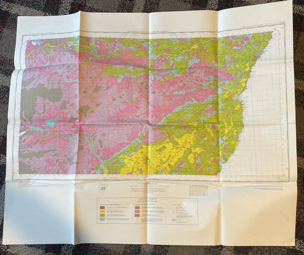
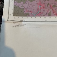

Ordnance Survey Map: Soil Survey Of Scotland – Land Use Capability Stonehaven
USD 33.27 USD
Specifications
| Series | Ordnance Survey |
| Publication Year | 1972 |
| Type | Geological Map |
| Format | Wall Map |
| Language | English |
| Region | Great Britain |
| Author | Ordnance Survey |
| Country | Scotland |
| Publisher | Ordnance Survey |
| Country Of Origin | United Kingdom |
The Ordnance Survey Map of Scotland's Soil Survey, published in 1972, provides valuable information on land use capability in the Banchory & Stonehaven regions. This geological wall map, authored by Ordnance Survey and printed in English, is a valuable tool for understanding the geography and geology of Great Britain. Made in the United Kingdom by Ordnance Survey, this map offers a detailed exploration of Scotland's terrain, making it a must-have for anyone interested in the region's natural features and land use patterns. The size of the map unfolded is approximately 90cm x 75cm. Ex Aberdeen University Library stock. Will be posted folded. Would look great framed and on the wall.
Related Items

Set of 3 laminated Wall maps United States World & N America – Universal Map Inc
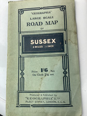
Vintage Geographia Large Scale Road Map -of SUSSEX on paper c1937
Hammond’s World Atlas Hardback Book

(G60) Map of Croydon CR Postcode Sectors, Poster of Croydon Postcodes

Northumberland National Park Pocket Map (Map)
Ordnance Survey Explorer 1:25,000: Sheet 221 Coventry & Warwick – 2004

Family Maps Allen County Ohio Genealogy Plat History

OS 6 in : 1 mile Worcestershire sheet 33 NW, Broadheath area 1930 ed