
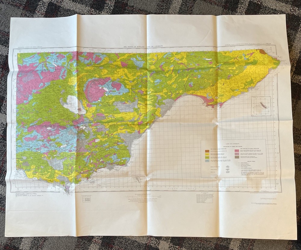
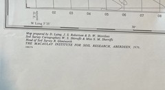
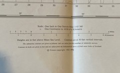

Ordnance Survey Map – Soil Survey Of Scotland – Land Use Capability – Edinburgh
USD 33.62 USD
Specifications
| Series | Ordnance Survey |
| Publication Year | 1972 |
| Type | Geological Map |
| Format | Wall Map |
| Language | English |
| Region | Great Britain |
| Author | Ordnance Survey |
| Country | Scotland |
| Publisher | Ordnance Survey |
| Country Of Origin | United Kingdom |
The Ordnance Survey Map of Scotland's Soil Survey, published in 1972, provides valuable information on land use capability in the Kinross, Elie & Edinburgh regions. This geological wall map, authored by Ordnance Survey and printed in English, is a valuable tool for understanding the geography and geology of Great Britain. Made in the United Kingdom by Ordnance Survey, this map offers a detailed exploration of Scotland's terrain, making it a must-have for anyone interested in the region's natural features and land use patterns. The size of the map unfolded is approximately 118cm x 86cm. Will be posted folded. Ex Aberdeen University Library stock. Would look great framed and on the wall.
Related Items
Snowdonia Central (Map) Ultramap
MAP of WARRINGTON WEST 1905 LANCASHIRE Sheet 115.04 NEW 9780850547764

1994 Ordnance Survey Pathfinder Map 934 SP 08/18 Birmingham (incl Solihull )

Quiet-Way Motoring Maps Price’s Motorine Oil complete approx 50miles:1inch 1930s
Bartholomews National Series Half-inch maps; 1975-1984 – very good condition
Photographer’s Guide to the Oregon Coast: Where to Find Perfect Shots and How…

Ayr 1909 Ayrshire Sheet 33.06 by Jane MacLean

Michelin Green Guide Alsace Lorraine Champagne, 5e (Green Guide/