

ordnance survey maps
USD 3.94 USD
Specifications
| Area | Chichester |
| Type | Geological Map |
| Publication Name | Ordnance Survey |
| Author | Ordnance Survey |
Ordnance Survey maps are detailed and accurate maps created by the government organisation, Ordnance Survey. They cover various regions in the UK, providing information about the landscape, topography, and features of the area. These maps are commonly used for navigation, planning, and recreational purposes. Ordnance Survey maps are a valuable resource for anyone looking to explore or learn more about the geography of the UK.
Related Items
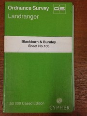
Blackburn & Burnley: Ordnance Survey Landranger Map 1:50000 Sheet #103

Old Ordnance Survey maps Whetstone Middlesex 1898

OS Ordnance Survey Landranger maps, wide selection – very good condition
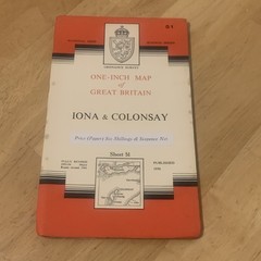
Ordnance Survey One Inch Map 51 Seventh Series Iona & Colonsay 1956 OS
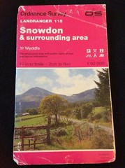
Ordnance Survey Landranger 115 Snowdon & surrounding area 115 1988

Bideford, Ilfracombe and Barnstaple (Map) OS Explorer Map

Orkney – West Mainland (Map) OS Explorer Active Map

Ordnance Survey Map 1:25,000 First Series Sheet SO 54 Hereford (North)