

Ordnance Survey of Ireland Sheet no 24 ~ Bantry Area ~ 1963
USD 3.37 USD
Specifications
| Series | Ordnance Survey |
| Publication Year | 1963 |
| Type | Atlas |
| Language | English |
| Country | Ireland |
| Map Scale | 1:126,720 |
| Features | Folding Map |
| Publisher | Ordnance Survey |
| Country Of Origin | Ireland |
The Ordnance Survey of Ireland Sheet no 24 from 1963 focuses on the Bantry area, providing a detailed map at a scale of 1:126,720. The sheet features a folding map, making it convenient for reference and study of the Irish countryside.
Related Items
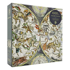
1000 Piece Puzzle 507x685mm Celestial Planisphere
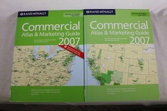
Rand McNally 2007 Commercial Atlas and Marketing Guide 138th Edition

BARTHOLOMEWS 1/2″ CONTOURED CLOTH SHEET 17 CARDIGAN 1951
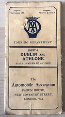
Dublin & Athlone – Vintage Bartholomew’s AA 4 miles To 1 Inch Cloth Backed Map

Make Your Travel Dollars Worth a Fortune: The Contrarian Traveler’s Guide to…

Street Atlas Dumfries and Galloway: Pocket by VARIOUS Paperback / softback Book

Atlas of the Transatlantic Slave Trade (The Lewis Walpole Series in Eighteenth-C

North American Maps for Curious Minds: 100 New Ways to See the Continent