


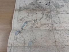


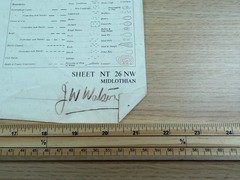
Ordnance Survey Sheet NT 26 NW Midlothian 1958 6″ Map Edinburgh Pentland Hill
USD 40.34 USD
Specifications
| Publication Name | Ordnance Survey |
| Publisher | Ordnance Survey |
| City | Edinburgh |
| Publication Year | 1958 |
| Series | Ordnance Survey |
| Type | Topographic Sheet Map |
| Format | Wall Map |
| Language | English |
| Region | Great Britain |
| Country | Scotland |
| Map Scale | 1:10,560 |
| Features | Folding Map |
| Country Of Origin | United Kingdom |
Reservoirs (including Torduff and Clubbiedean), old quarries, sheepfolds and the Pentland Hills District boundary are all clearly shown. This sheet covers a fascinating slice of Edinburgh and Midlothian.
Related Items

Backroad Bicycling in Western Massachuse… 9780881505597 by Cantele, Andi Marie

OS Explorer Map (132) Winchester, New Alresford and East Meon – Folded Map

The Times Atlas of the World: Comprehensive Edition by Collins Bartholomew…
A specimen plate from Times Atlas of world mid century Plate 72 France- Sth West
Vintage Ordnance Survey Popular Edition 1 Inch Cloth Map, Windsor

Vtg Ordnance Survey map Cloth Sheet 150 Ipswich Clacton Suffolk 1″=1 mile 1956

Blackwater Estuary by Ordnance Survey (Sheet map, folded)

LIKE NEW 1970’s Florida Road Map – L@@K