
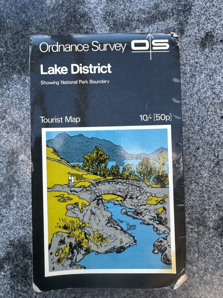
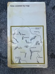
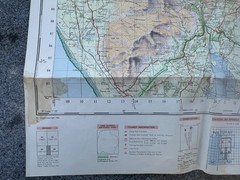

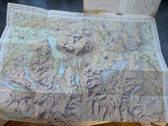
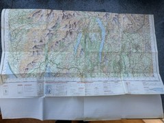
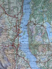
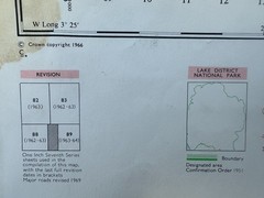
Ordnance Survey Tourist Map Lake District 1970, rare cover with Ashness Bridge
USD 6.07 USD
Specifications
| Publication Year | 1970 |
| Series | Ordnance Survey |
| Type | Hiking Map |
| Language | English |
| Publication Name | Collins Primary Atlas |
| Author | Ordnance Survey |
| Country | United Kingdom |
| Region | Great Britain |
| Features | Folding Map |
| Publisher | Ordnance Survey |
| Country Of Origin | United Kingdom |
Incidentally, the image is actually printed back to front! This is the very first version with the "Black Cover" that lasted from 1970 to 1981, in various revisions.
Related Items
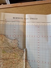
Ordnance Survey Map Of Great Britian – BERWICK-UPON-TWEED – 1965 – 1/63360

The Spirit of the Cotswolds by Susan Hill

National Geographic United States Wall Map – Classic (Enlarged: 69.25 x 48 in…

GERMANY Philip’s International No 3 Road Map

OXFORD BIBLE ATLAS by CURTIS, ADRIAN Paperback Self Help Business

Rand McNally GOODES World Atlas 17th Edition 4th Printing rev 1988 HC EX VG+ 2-1

National Geographic Atlas of World History

SUPERSTITION WILDERNESS: INCLUDING LOST DUTCHMAN STATE By Dharma Maps Llc NEW