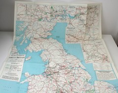

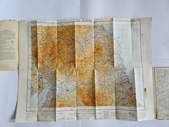
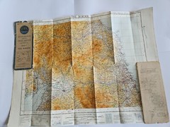
OS Map the Border Lanark to Newcastle Cloth backed 1946 in Good Condition
Specifications
| Returns Accepted | ReturnsNotAccepted |
| Type | Documents & Maps |
| Publication Name | Ordnance Survey |
| Publisher | Ordnance Survey |
| Subject | Geography & Geosciences |
| Series | Ordnance Survey |
| Publication Year | 1946 |
| Format | Cloth Backed |
| Language | English |
| Author | O.S. |
| Country | United Kingdom |
| Region | Borders |
| Features | Folding Map |
| Country/Region Of Manufacture | United Kingdom |
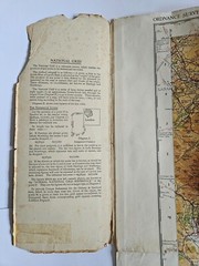
Explore the intricate borders of Lanark to Newcastle with this detailed OS Map from 1946, a must-have for enthusiasts of geography and geosciences. Published by the renowned Ordnance Survey, this cloth-backed, folding map is a testament to historical geographical survey work, providing an accurate and authentic representation of the region's contours and features.The map is a great addition to any collection of documents and maps and is authored by the respected O.S., reflecting the precision and expertise of the United Kingdom's Ordnance Survey. It is a celebration of the country's rich geographical heritage and an insightful resource for both scholars and collectors alike. Cover Showing signs of use. Map is in Good condition Includes street map of several towns in the area.
Related Items